Colder and windy start to the weekend
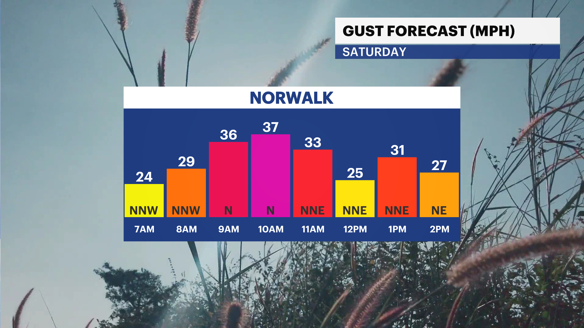
Temperatures will be in the lower 60s with winds gusting up to 35 mph
More Stories


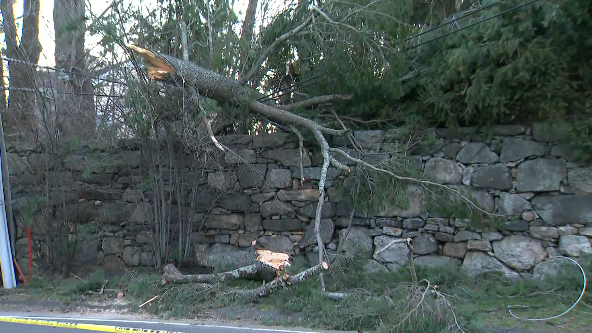

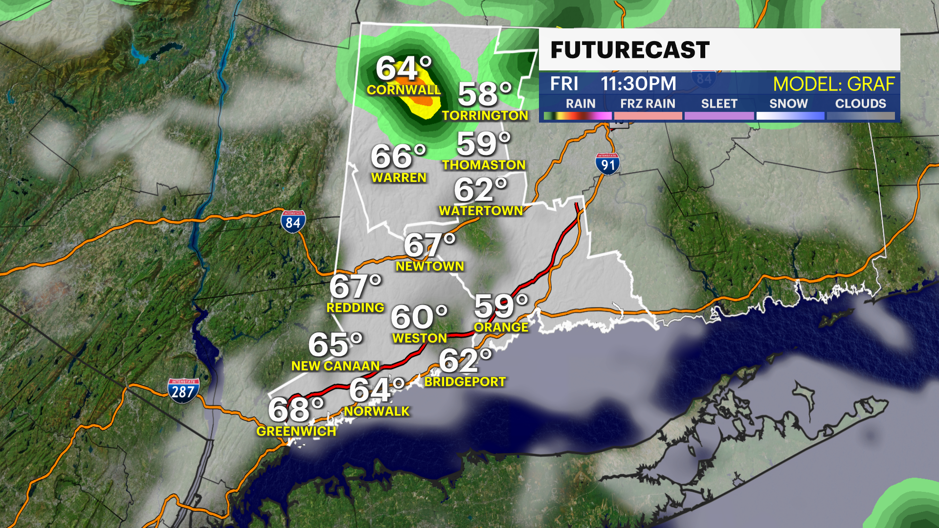
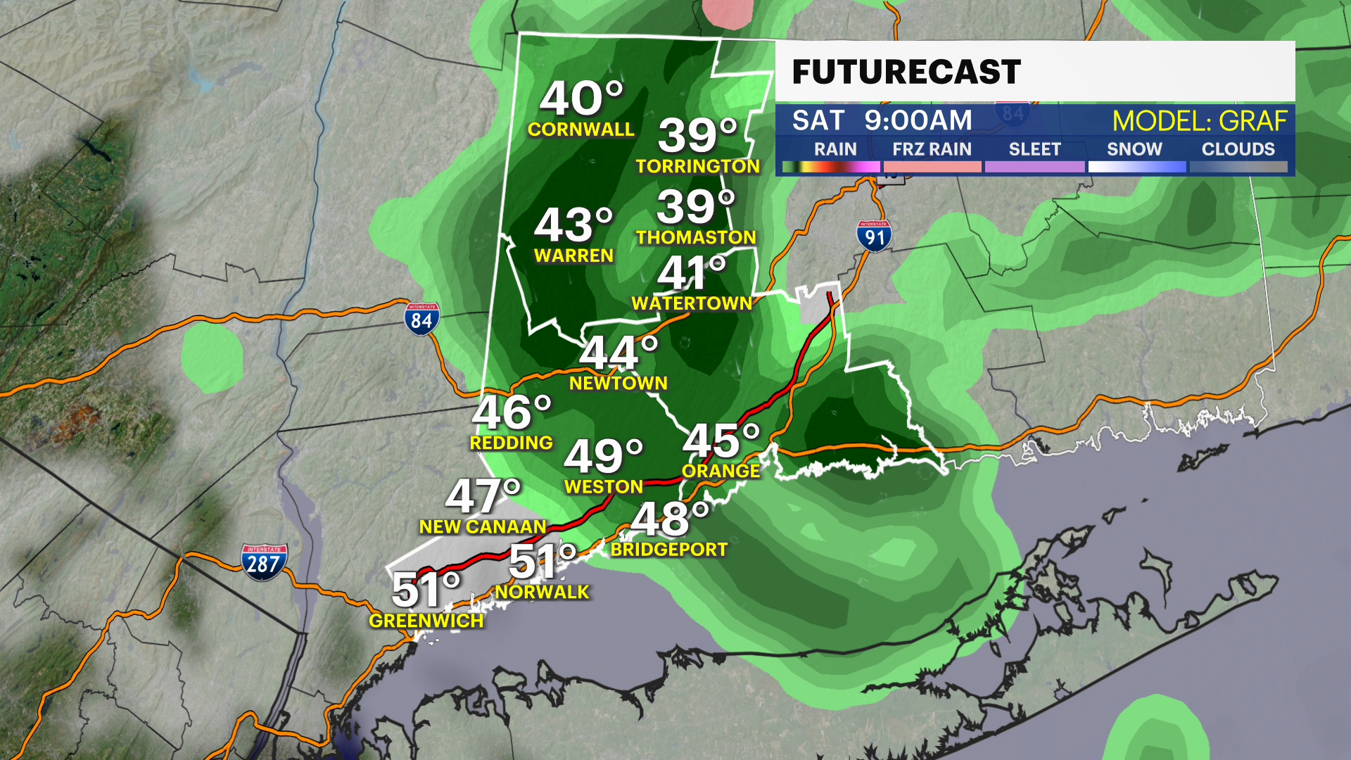
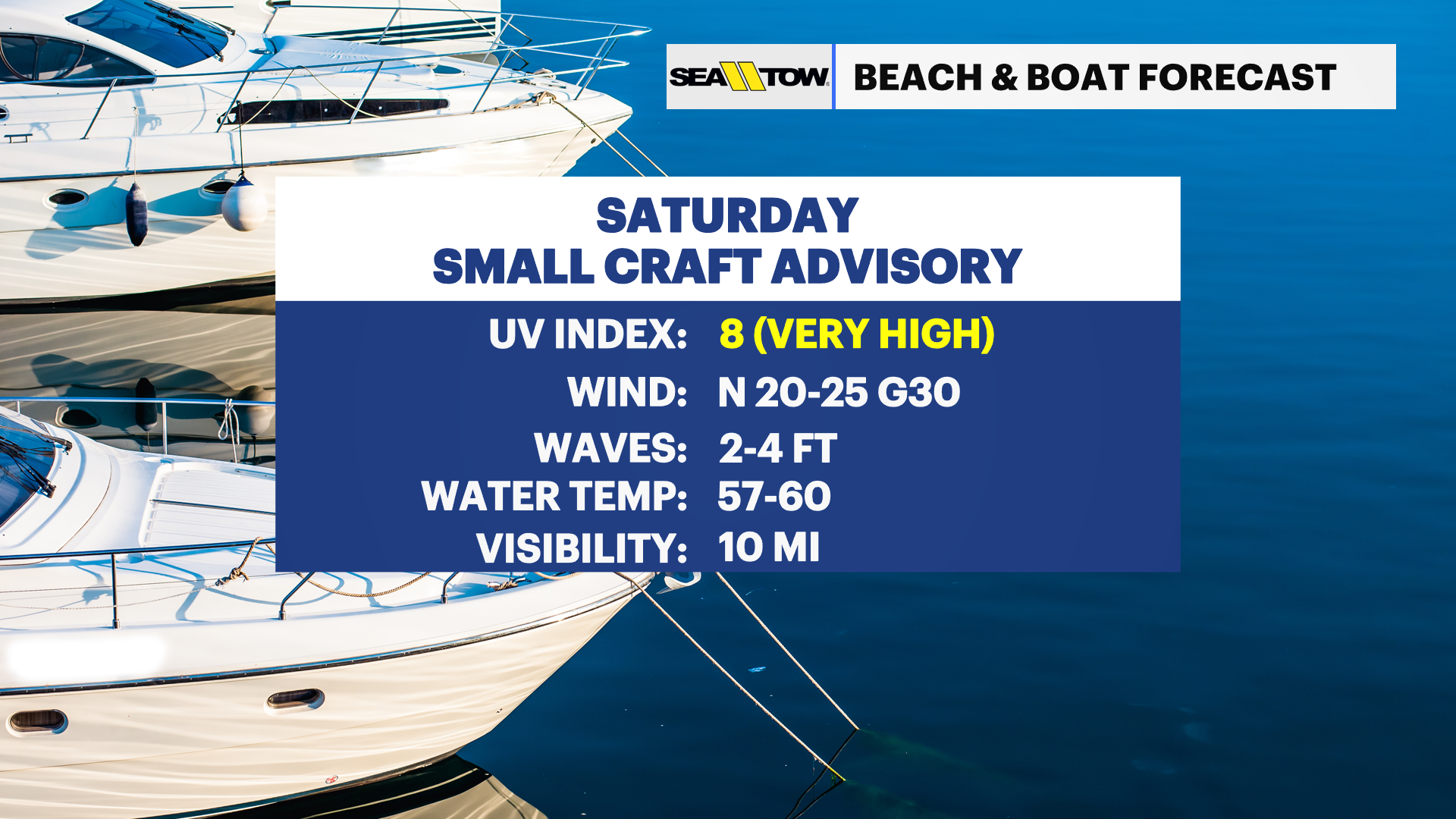
The weather will turn windy and colder on Saturday as a sharp cold front drops through the region. A few showers are likely out ahead of it into early Saturday. High temperatures will only reach the lower 60s, with wind gusts of up to 35 mph.
Rough conditions will follow on the Sound for Saturday with a small craft advisory due to the gusty winds.
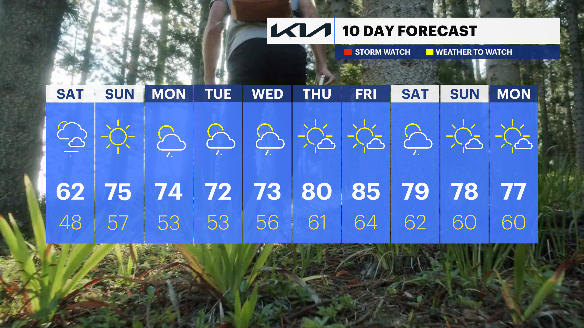
Sunday will be the better half of the weekend with abundant sunshine and a milder feel. Sunday will have lighter winds and warmer temperatures with highs back in the 70s. There will be a more seasonable feel to the weather heading into next week. Count on temperatures staying in the 70s during the day, but cooler 50s at night.
There is also a risk of some showers popping up for the first half of the week. An upper level low pressure will back into the Northeast and bring showers from time to time. There is a high level of uncertainty with the timing of the rain, so be sure to check back for more on timing.