Newark Information
☀️
UV Index Today
--
Loading...
🍃
Air Quality
--
Loading...
🌡️
Average High / Low
-- / --
1991-2020 Normals
EWR Climate
🏆
Record High / Low
-- / --
Loading...
EWR Climate
Loading latest Newark information...
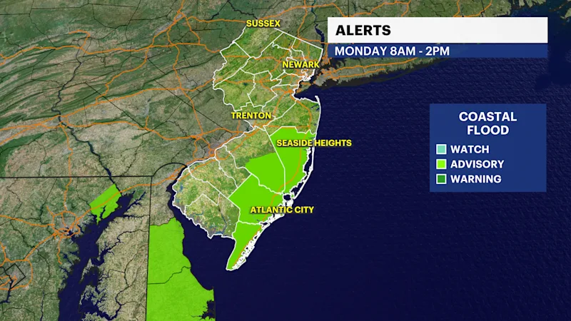
Check coastal alerts and tide information
FORECAST:
The remnants of Hurricane Isaias are over but there leftover showers and a few isolated thunderstorms linger into the overnight. Rainfall totals are climbing and are up to over 2.5" in a few areas. Roads will stay wet and visibility continues to stay poor until after sunrise.
A coastal flood advisory is in effect. Spotty tidal flooding will approach minor flood levels into and early Monday morning's high tide from Ocean County and points south into the Delaware area.
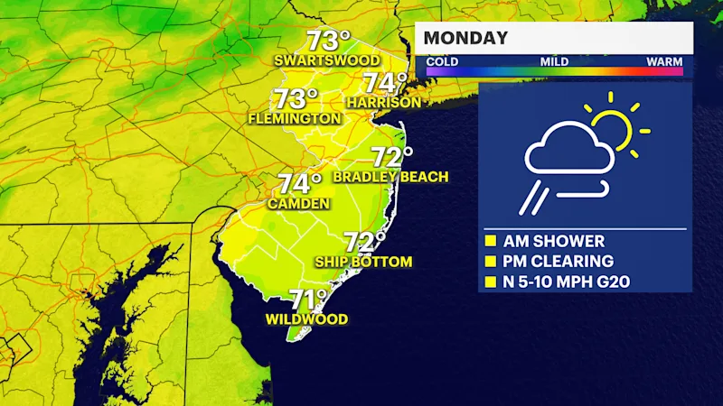
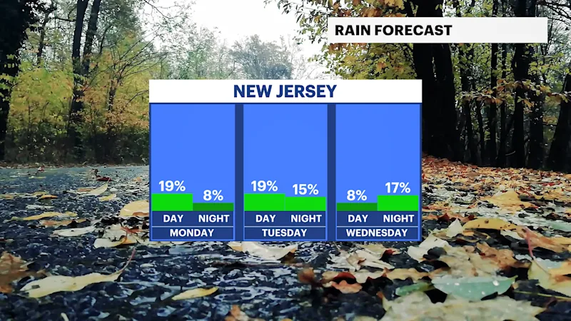
The weather will gradually clear during the day on Monday. Clearing will take place from the late morning on as winds turn more northerly and then northwesterly. Drier weather is expected for Tuesday but with the passage of a cold front north there is a risk of showers or even a thunderstorm later in the day.
Warmer and a touch more humid conditions are expected for mid week as temperatures rise to near 80. Much cooler temperatures are expected after a round of rain Friday for next weekend.
Next weekend will be windy and cold, with highs only in the 50s.
FUTURECAST:
TIDES:
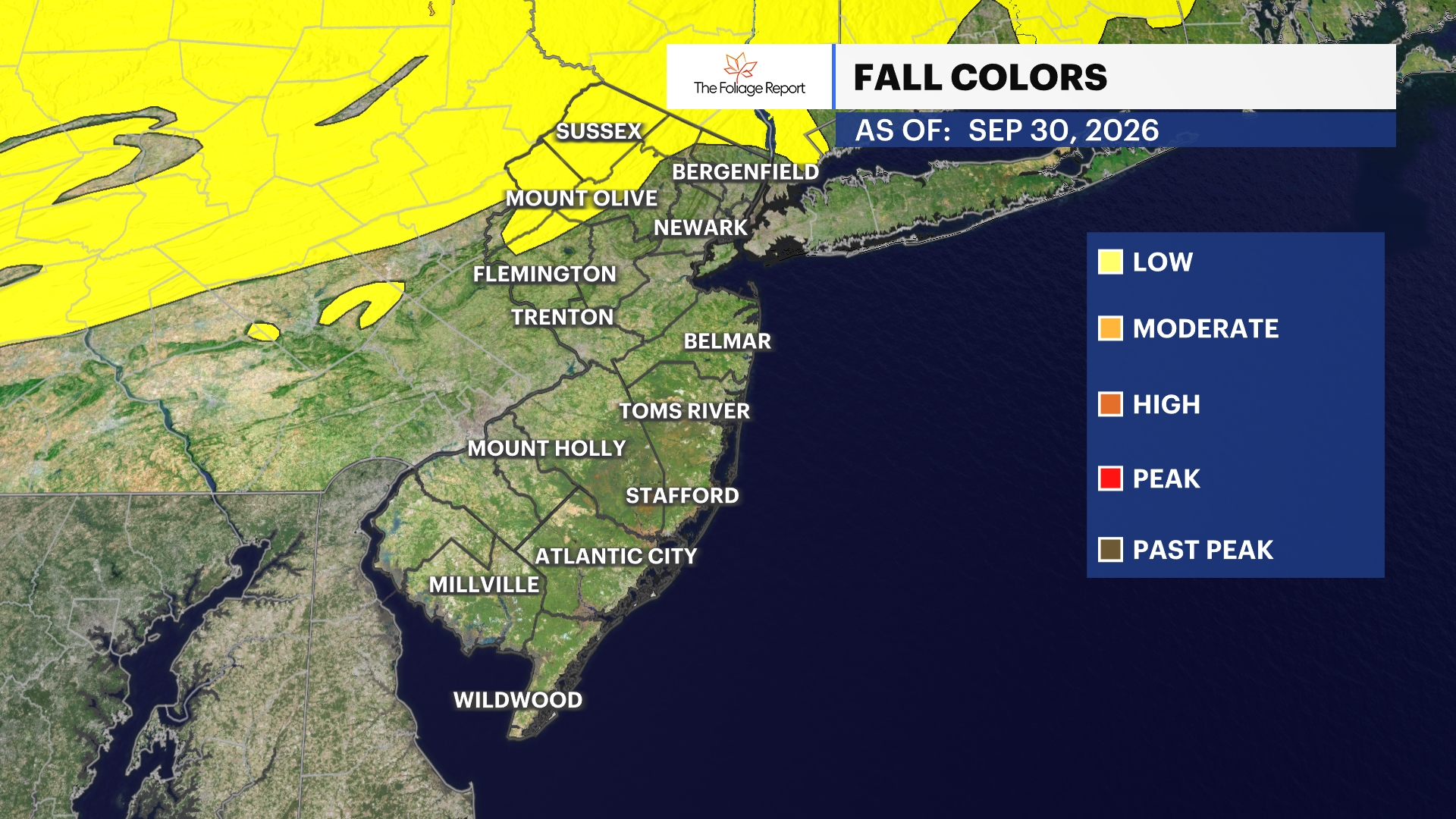
FOLIAGE UPDATE (New report every Wednesday):