Newark Information
☀️
UV Index Today
--
Loading...
🍃
Air Quality
--
Loading...
🌡️
Average High / Low
-- / --
1991-2020 Normals
EWR Climate
🏆
Record High / Low
-- / --
Loading...
EWR Climate
Loading latest Newark information...
Check coastal alerts and tide information
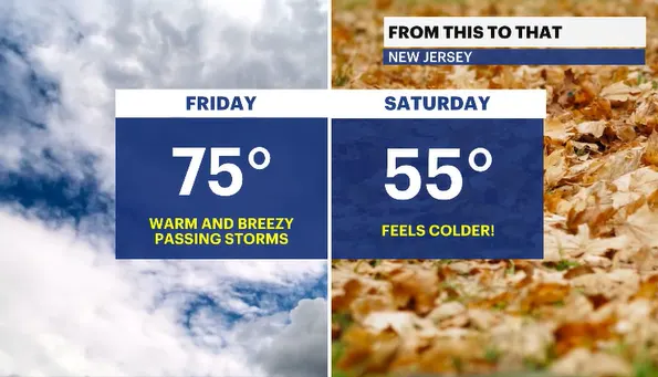
Showers will linger along the shoreline overnight. Cold air is on the move behind the main batch of storms from this evening. The winds will get gusty, and it will start feeling like late fall. This is typical October weather. The temperatures went from the mid- to upper 70s and are expected to fade quickly to the low and mid 50s for Saturday.
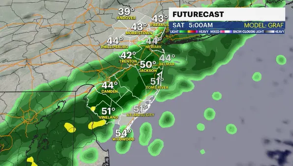
The weather system will move quickly offshore, then slow down dramatically. The stormy weather is in and out relatively quickly. However, lingering showers will fester in southern areas and lift up the coastline into the very early hours of Saturday morning. The wet weather will not be an issue for outdoor activities on Saturday, but technically the stretch of wet weekends continues to 36 of 42 for the year.
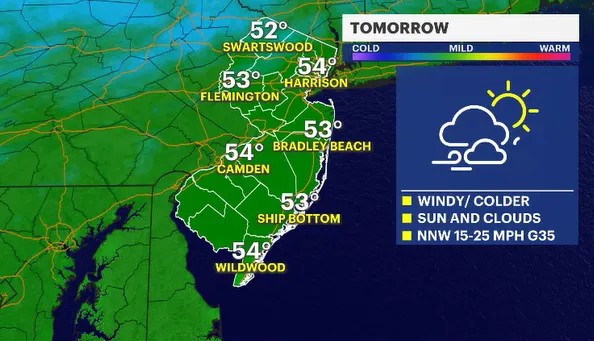
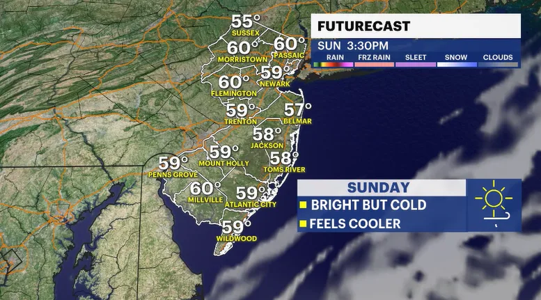
The weekend looks wonderful, but quite chilly, especially when the wind is factored into the equation. Sunshine for both Saturday and Sunday. Both days will be breezy, so it is going to feel cooler outside.
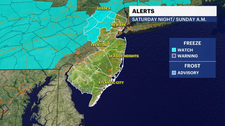
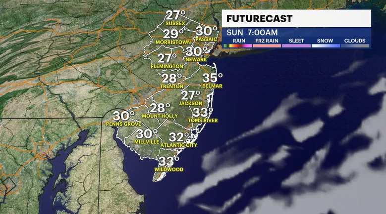
Saturday morning is a small shock to the system when walking outside for the first time. Temperatures will feel like the 30s and 40s. The coldest air holds off until Saturday night into Sunday morning. The National Weather Service has issued a Freeze Watch for the northwestern corner of the state. Actual nighttime lows should dip to or below the freezing mark. Any breath of a breeze will make it feel much cooler.
FUTURECAST:
TIDES:
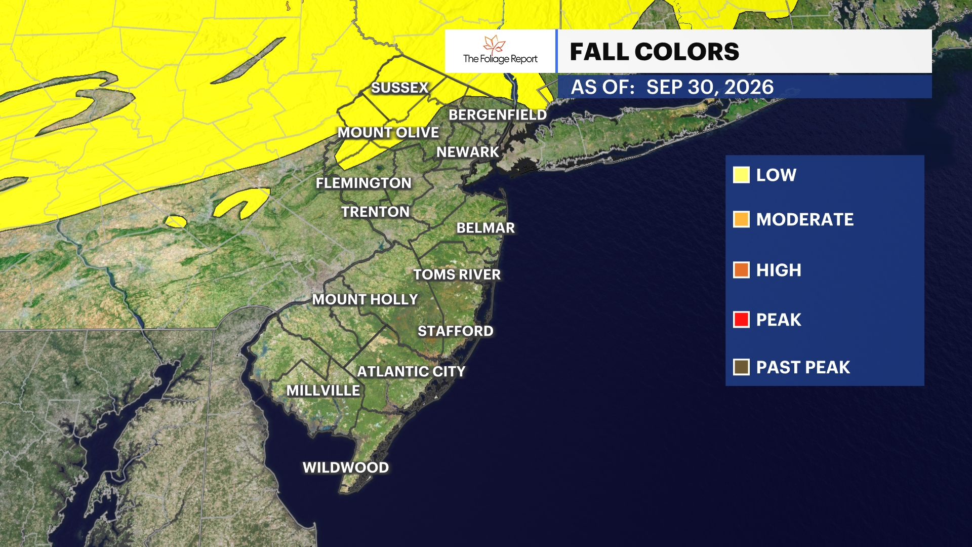
FOLIAGE UPDATE (New report every Wednesday):