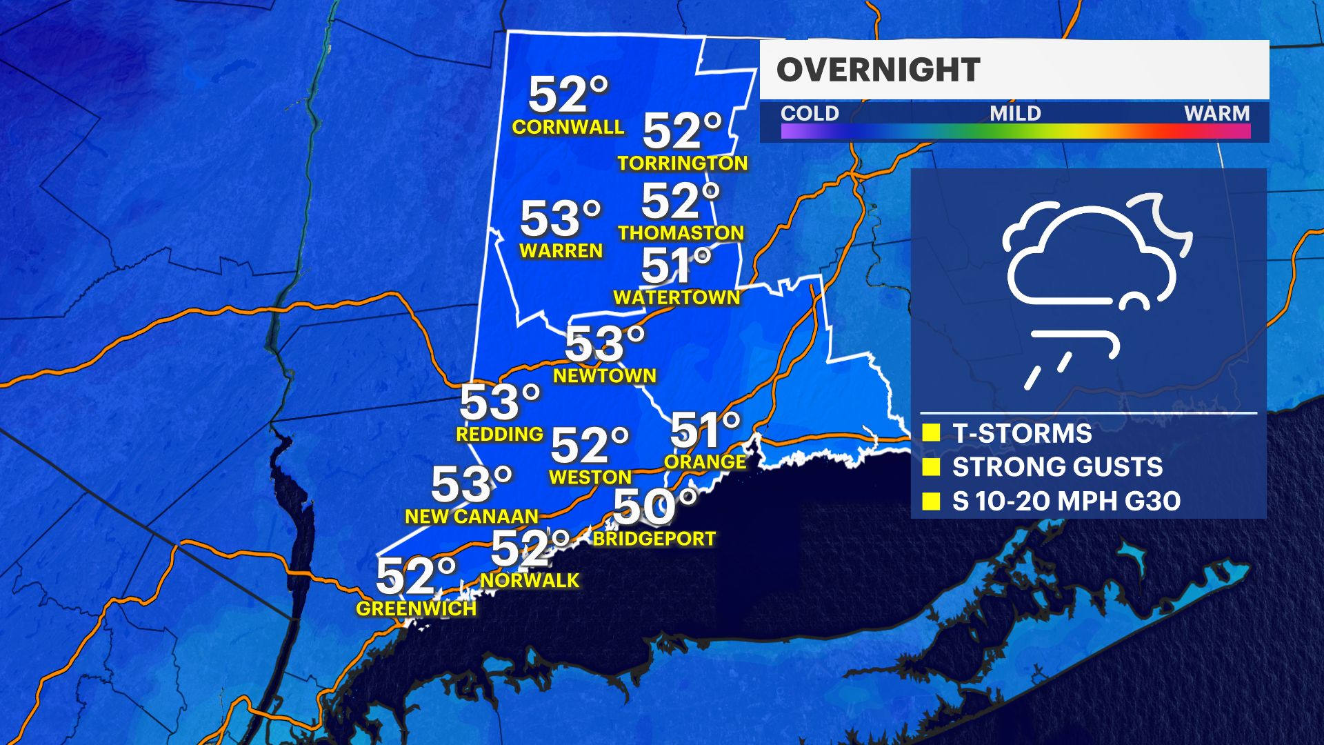
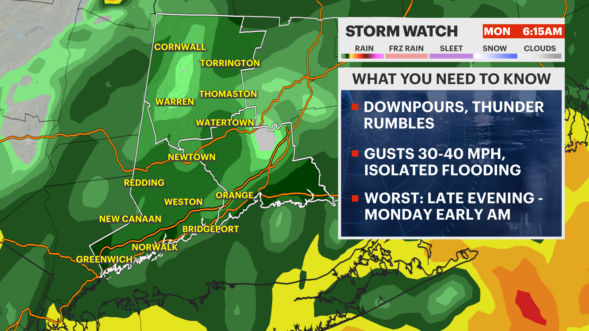
STORM WATCH: Strong wind gusts, downpours through Monday morning in Connecticut
Expect gusty thunderstorms and downpours overnight into the Monday morning commute.
More Stories


TONIGHT: New Jersey will continue to have gusts in the 30-40 mph range throughout the rest of the evening. The National Weather Service has issued a wind advisory until 9 p.m. for gusts potentially in the 40-50 mph range. The worst parts of this storm roll in around 9 p.m. with downpours and chances for lightning.
OVERNIGHT: The worst of this continues until around 6 a.m. with likely impacts to Monday morning's commute.
MONDAY: As we get more into the morning, we transition to mainly light to moderate showers that eventually taper off by the afternoon.
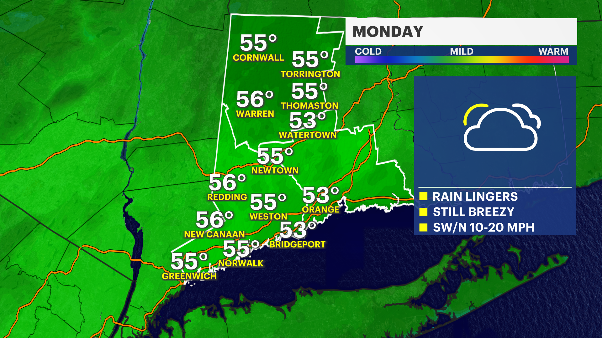
STORM CONCERNS: Main concerns from this storm – damaging winds, heavy rain, isolated flooding and lightning. Visibility is already reduced and will continue to be due to rain and foggy conditions. Allow ample time for your Monday morning traveling.
THIS WEEK: We have a few rain free days for Tuesday and Wednesday. Next rain chance comes on Thursday along with the official start of spring.