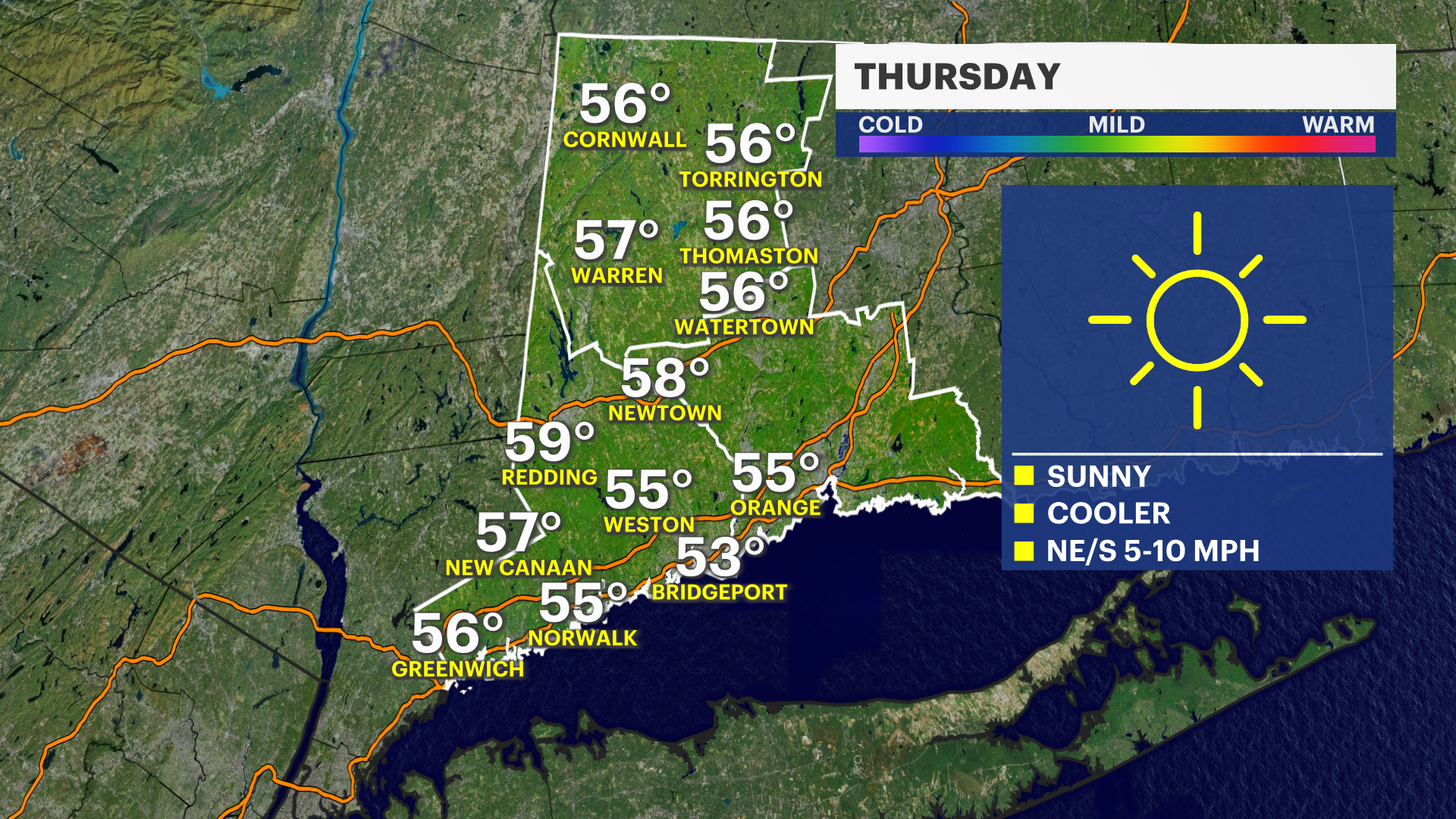
Cold and sunny for Thursday; frost possible at night
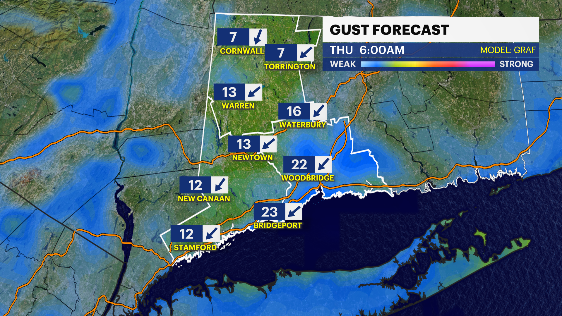
Storm Team Meteorologist Michele Powers says a cold front is on the way through the evening. The winds will pick up and the temperatures will drop.
News 12 Staff
•
Apr 24, 2024, 10:18 AM
•
Updated 9 days ago
Share:
More Stories
0:34

Stamford FD: 67-year-old man found dead inside hoarder house following fire
1h ago1:56

Progress being made in demolishing I-95 overpass in Norwalk damaged by fire
1h ago0:32

Police: Contractor failed to complete project and refund Orange homeowners
2h ago0:22

Officials: 2-car crash in Orange hospitalizes 7
2h ago1:32
Knowing the early warning signs during Stroke Awareness Month
2h ago2:11
Mostly cloudy Saturday in Connecticut; widespread showers on Sunday
7h ago0:34
Stamford FD: 67-year-old man found dead inside hoarder house following fire
1h ago1:56
Progress being made in demolishing I-95 overpass in Norwalk damaged by fire
1h ago0:32
Police: Contractor failed to complete project and refund Orange homeowners
2h ago0:22
Officials: 2-car crash in Orange hospitalizes 7
2h ago1:32
Knowing the early warning signs during Stroke Awareness Month
2h ago2:11
Mostly cloudy Saturday in Connecticut; widespread showers on Sunday
7h agoHEADLINES:
- Temperatures will turn colder tonight and through the next two days.
- Frost and even hard freezes are possible at night.
- This will have an impact on the growing season.
FORECAST:
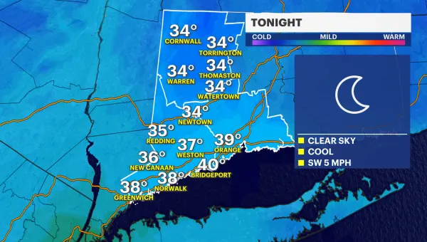
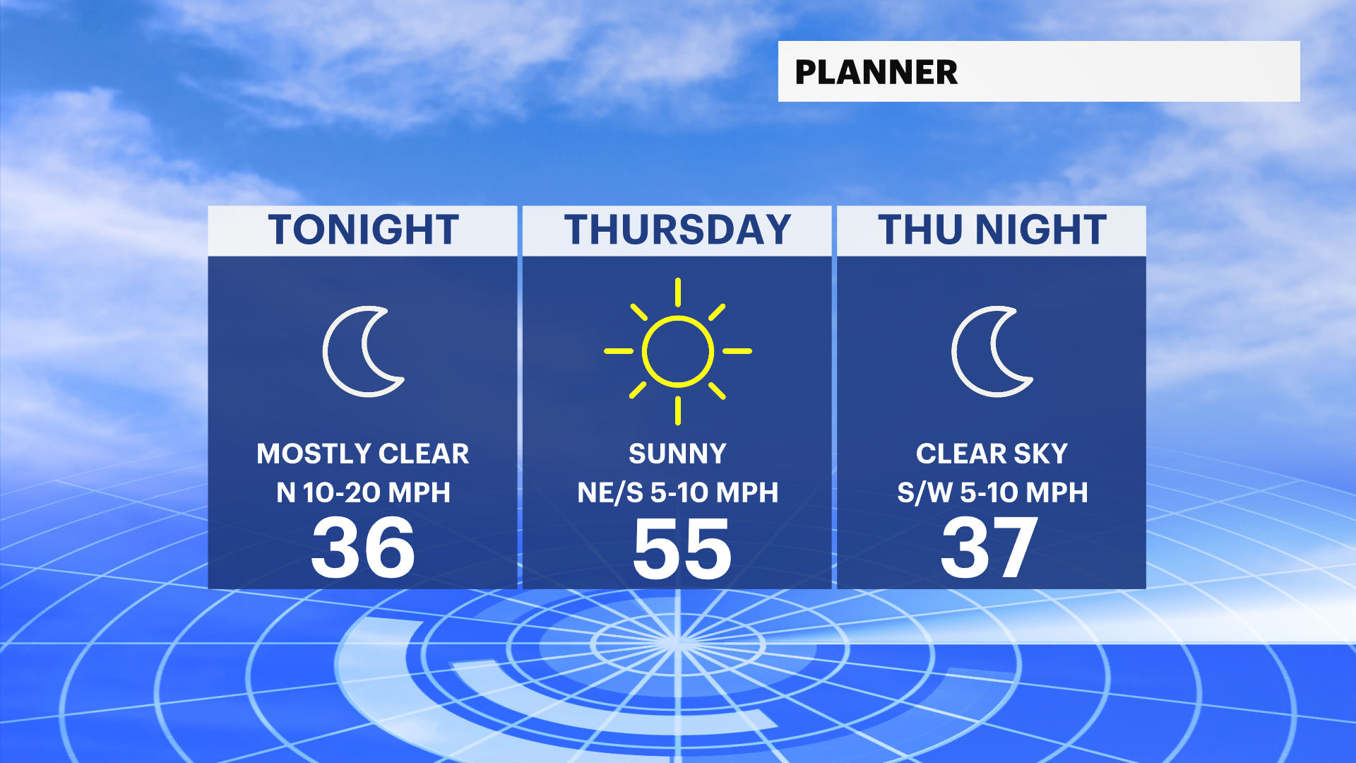
Storm Team Meteorologist Michele Powers says a cold front is on the way through the evening. The winds will pick up and the temperatures will drop. It will fall back into the 30s for the low tonight.

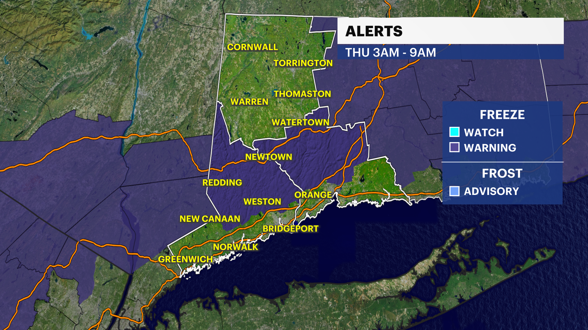
It will be near freezing in Northern Fairfield County and Litchfield County. Temperatures will stay above freezing along the I-95 corridor.

There is a freeze warning for parts of Fairfield and New Haven Counties from 3 a.m. through 9 a.m. Thursday.
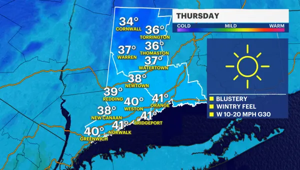
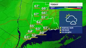
It will be a very cold start in the morning. A frost is most likely. Layer up for the morning commute with temperatures in the lower to middle 30s. The winds will simmer down and the sun will return tomorrow. Highs will only be in the lower to middle 50s. The normal high temperature now is 62 degrees.
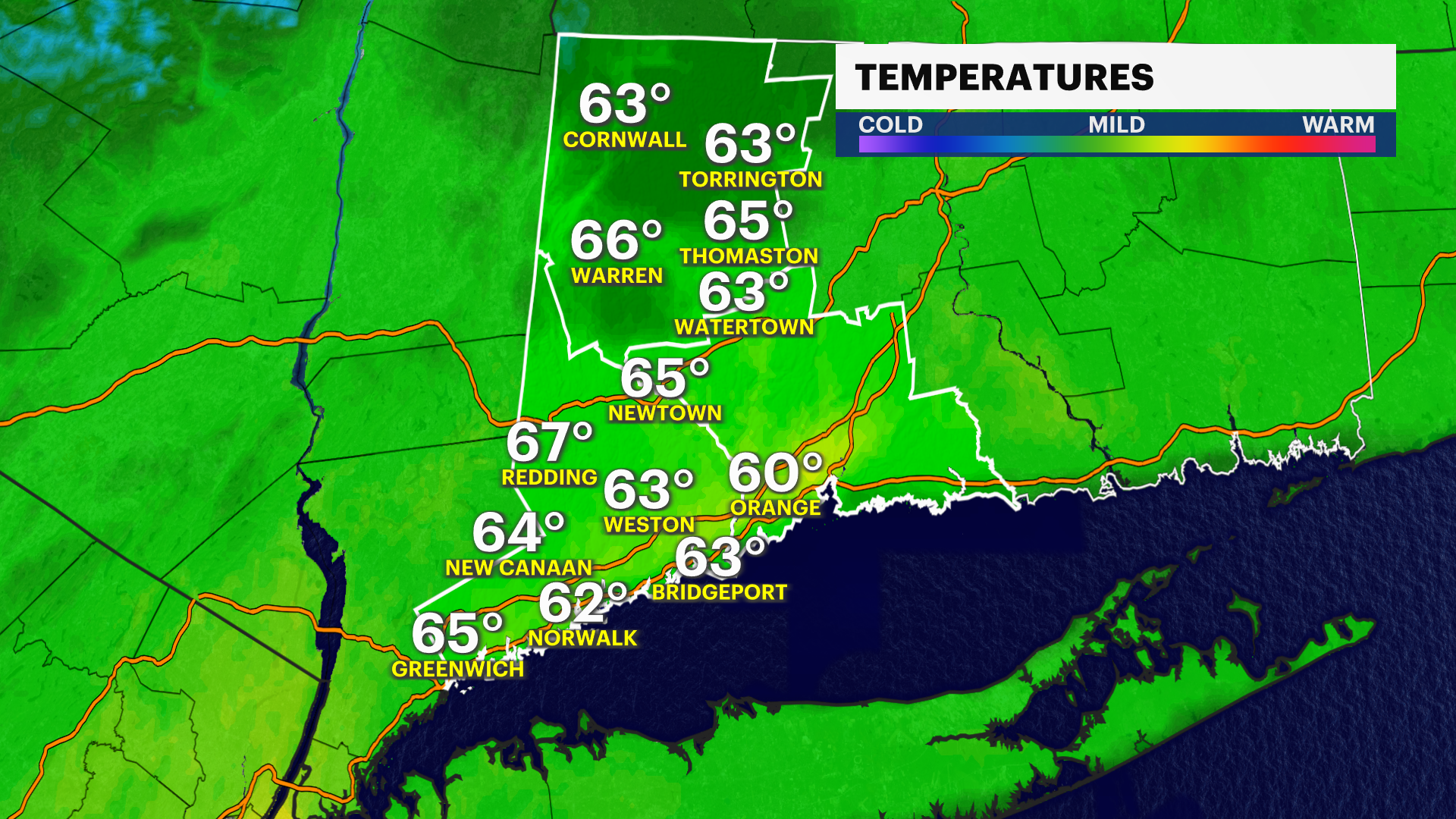
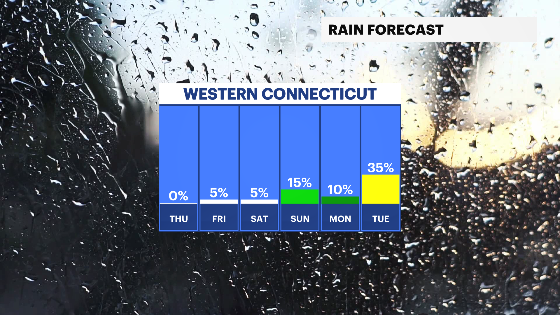
Temperatures eventually warm back up over the weekend and really jump up early next week. Early next week some 70s and 80s will try to make an appearance. There is a risk of some showers over the weekend.
THURSDAY: Sunny and much cooler. High of 54.

FRIDAY: Sunny. High of 58.
SATURDAY: Partly sunny. Showers late. High of 60.
SUNDAY: Mostly cloudy to partly sunny. High of 72.
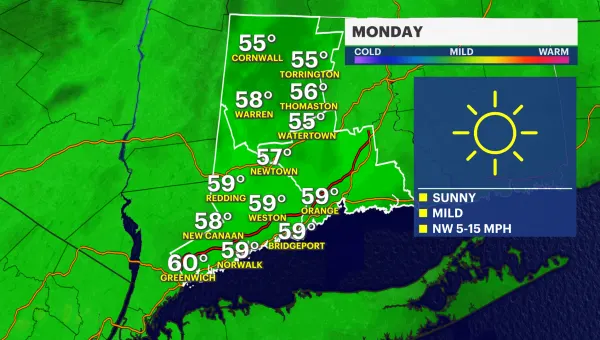
MONDAY: Mostly cloudy. High of 78.
TUESDAY: Partly cloudy. High of 70.
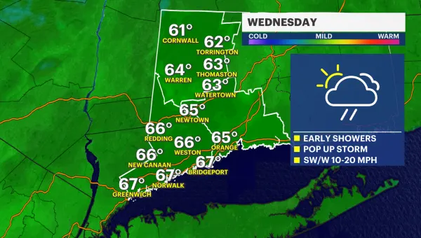
WEDNESDAY: Partly cloudy. High of 70.