HEAT ADVISORY: Another heat wave expected for Connecticut with temperatures in the 90s
Minimal rain chances this week until the weekend
More Stories




ALERTS:
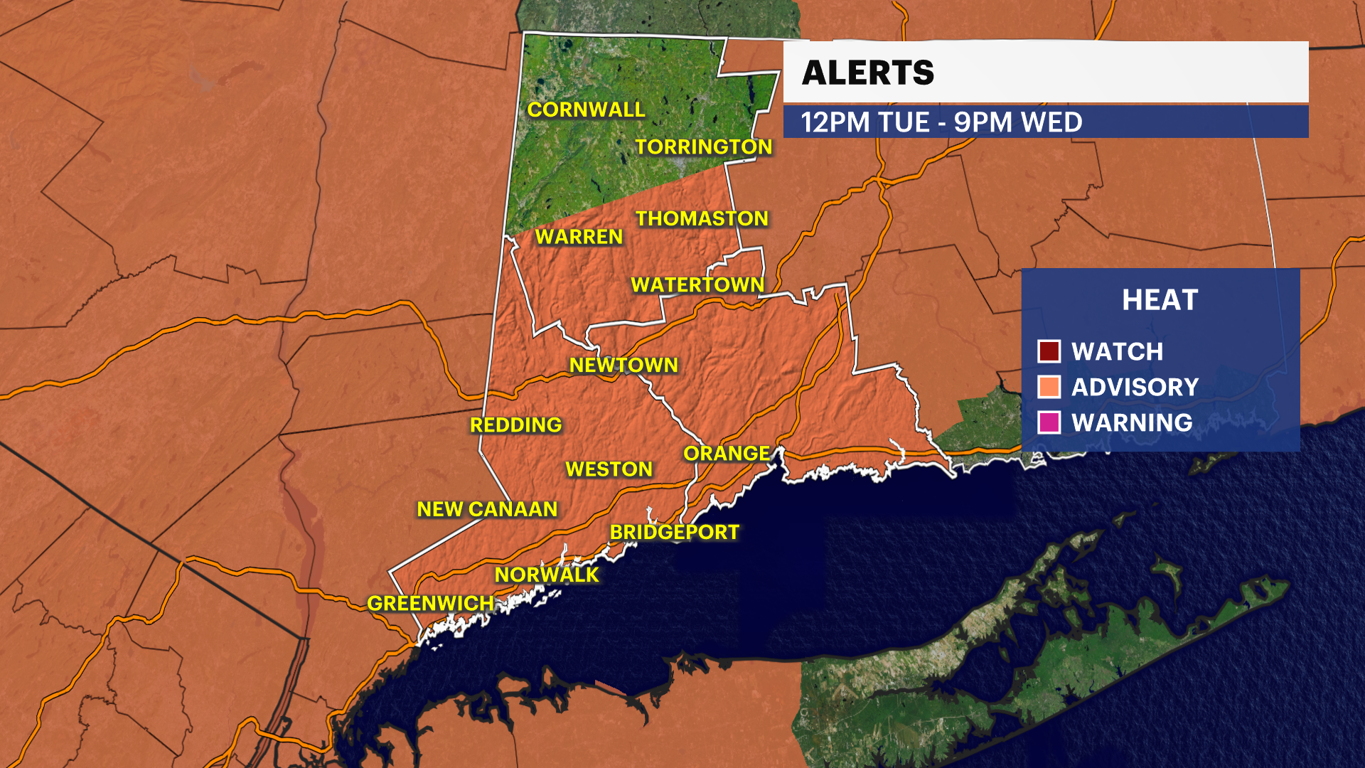
HEAT ADVISORY: Tuesday 12 p.m. - 9 p.m. on Wednesday.
AIR QUALITY ALERT: Tuesday 11 a.m. - 11 p.m.
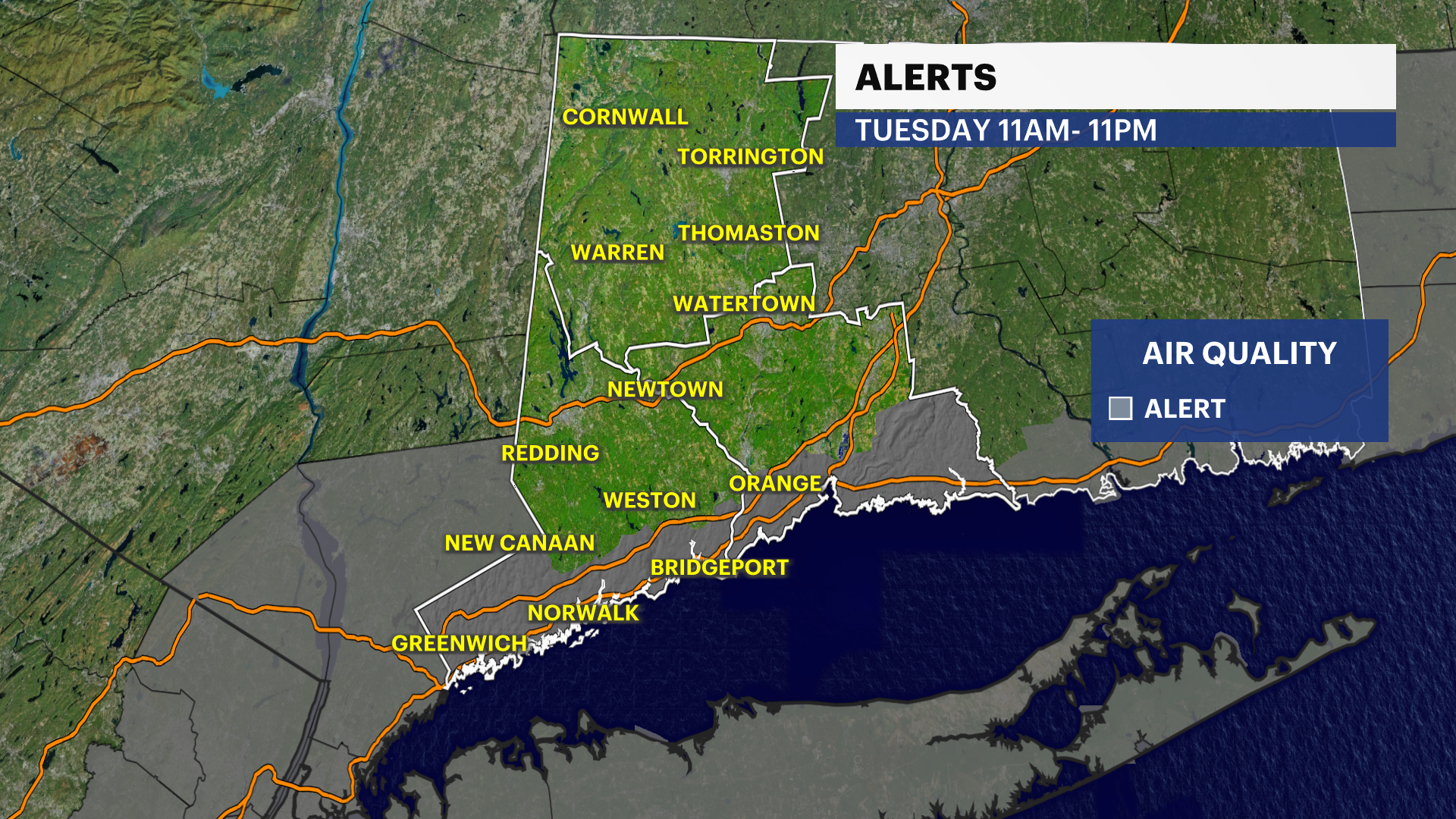
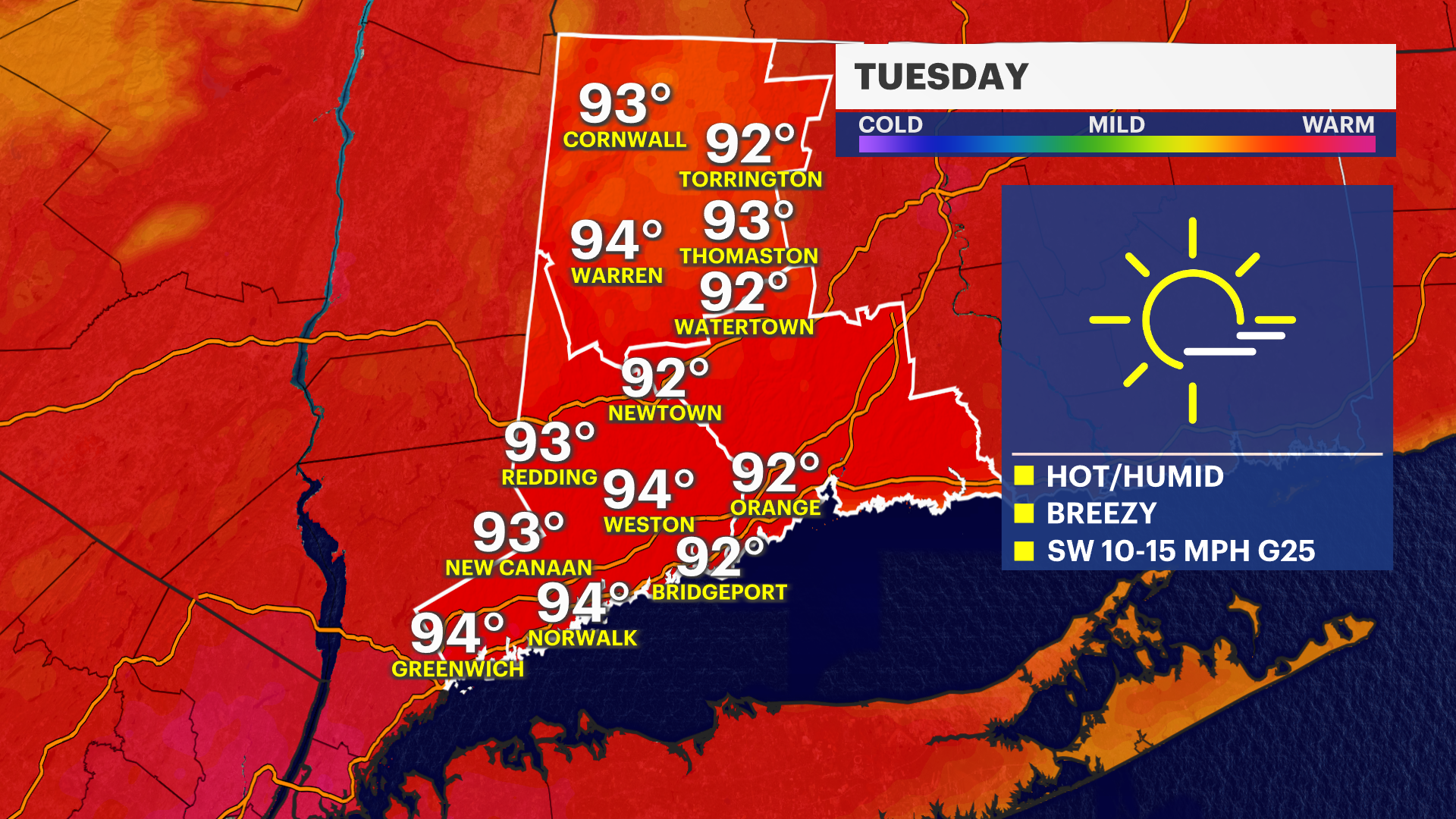
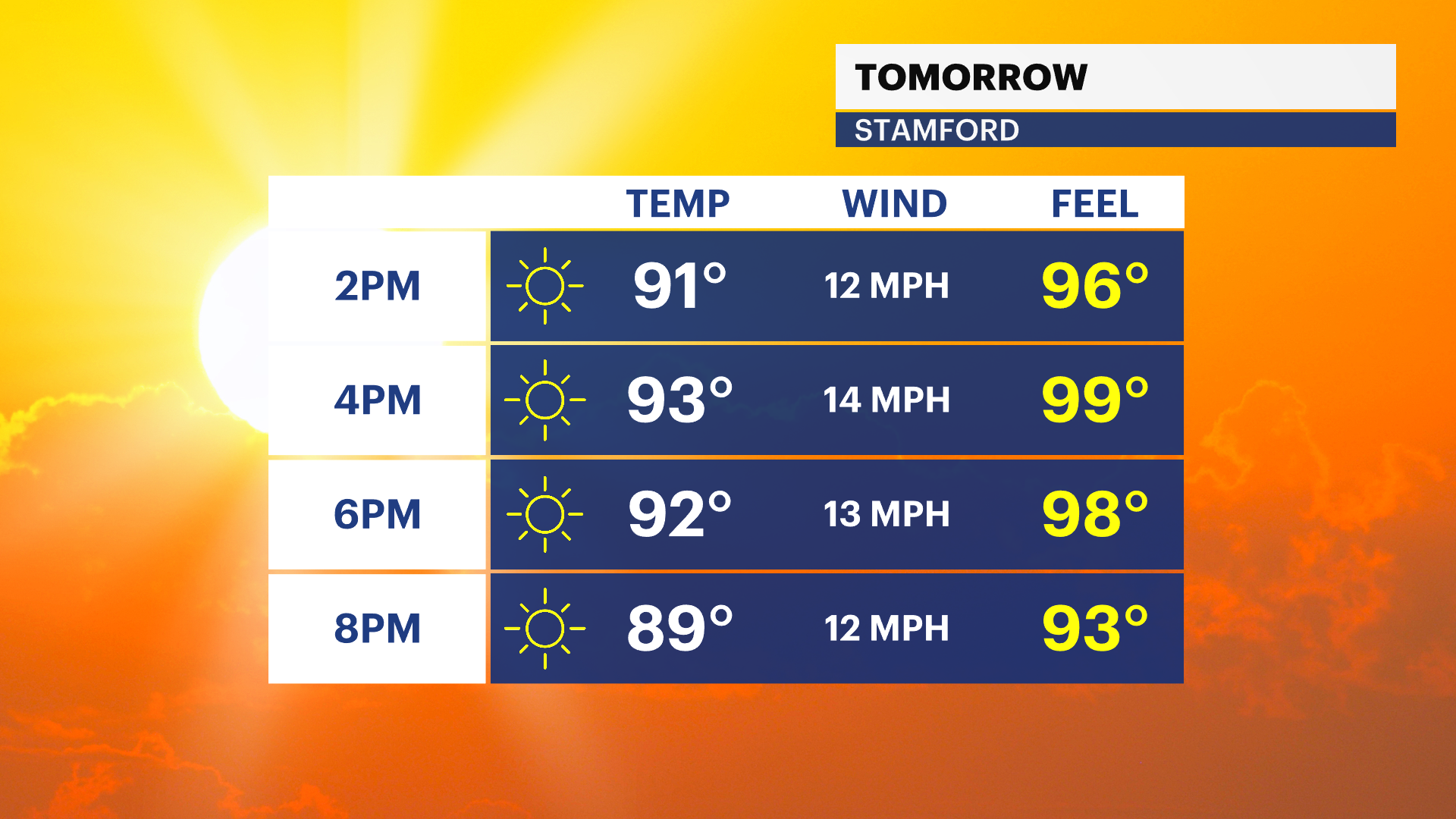
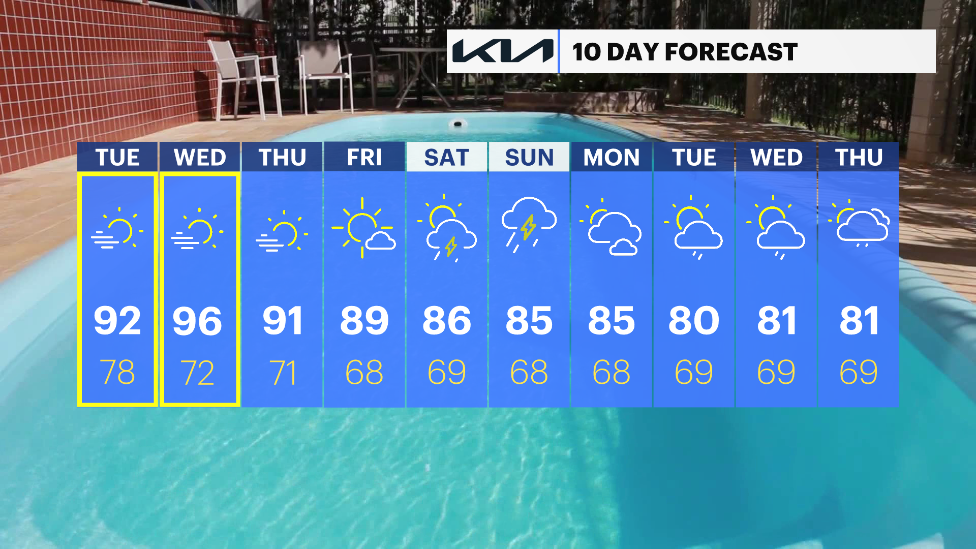
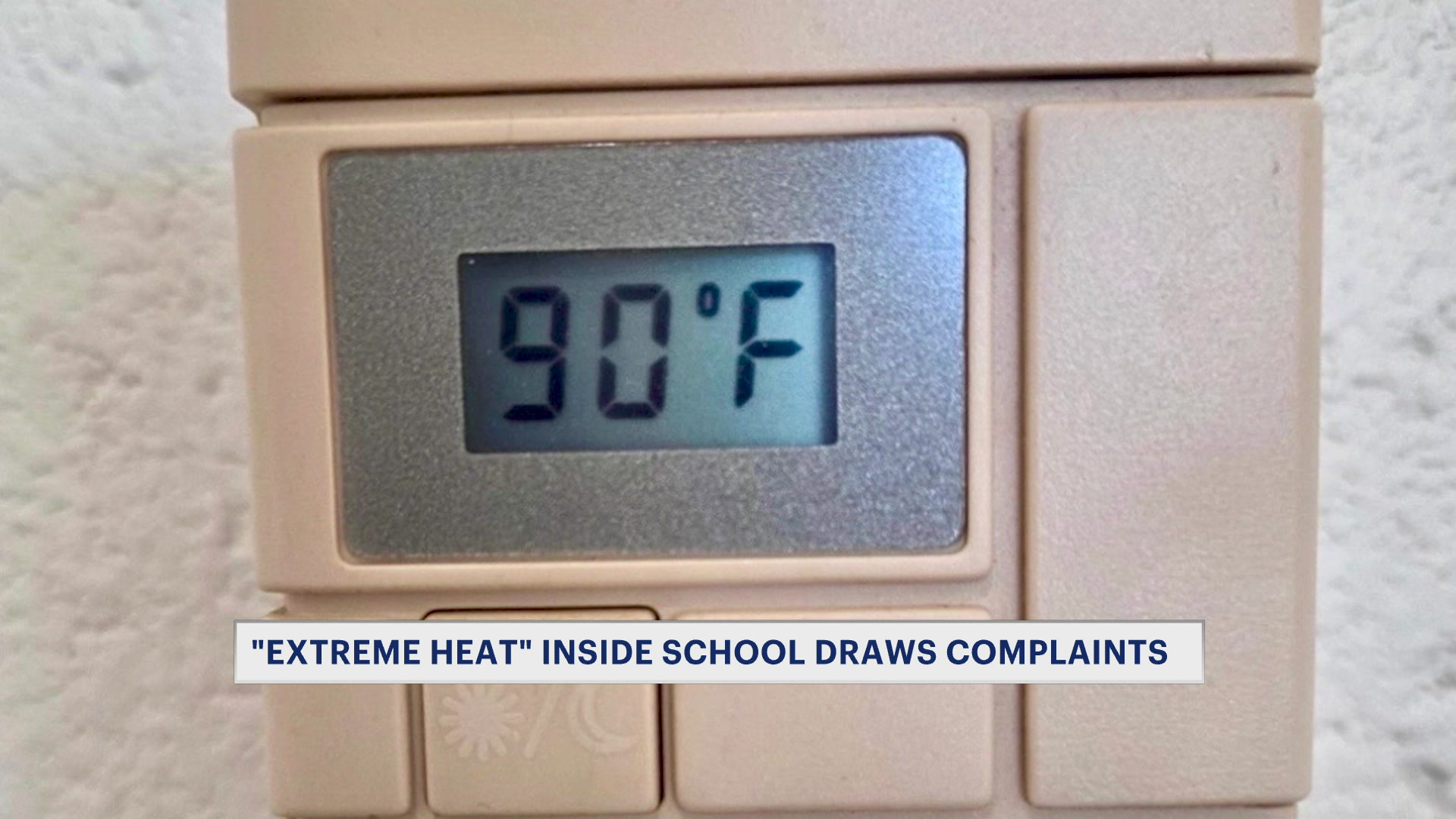
Get ready for another heat wave in Connecticut. Temperatures will rise into the lower 90s Tuesday afternoon, but with increased humidity, it will feel closer to 100 degrees. The highest heat index for both Tuesday and Wednesday may reach around 102 in the afternoon. Thursday will still be hot, but slightly less humid.
Please take precautions when working or staying outside for a prolonged period of time. When it gets this hot, heat illnesses can occur quickly. Find the shade, stay out of the sun and of course drink plenty of water. Make sure the pets are also cool and comfortable.
This heat spell won't be quite as intense or as long as the last one right before the holiday. The week as a whole will be a hot one, but the worst days will be limited to Tuesday and Wednesday - when the National Weather Service has the heat alert issued.
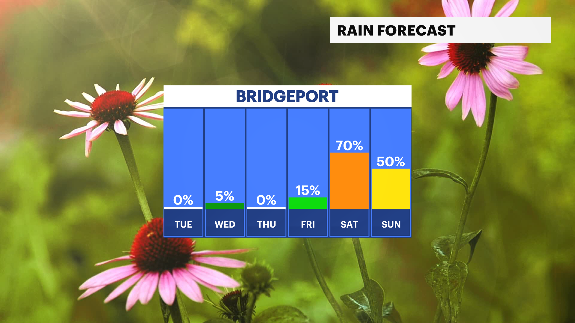
Rain will be hard to come by this week with only isolated showers or storms. As a cold front brings the humidity down Wednesday night into Thursday, there may be a few showers or storms in the area late. Rain chances go up over the weekend with showers and storms starting up in the afternoon or evening on Saturday, then continuing into Sunday.
Stay with News 12 Connecticut for further updates and details.