STORM WATCH: Severe storm threat targets New Jersey with heavy rain and damaging winds
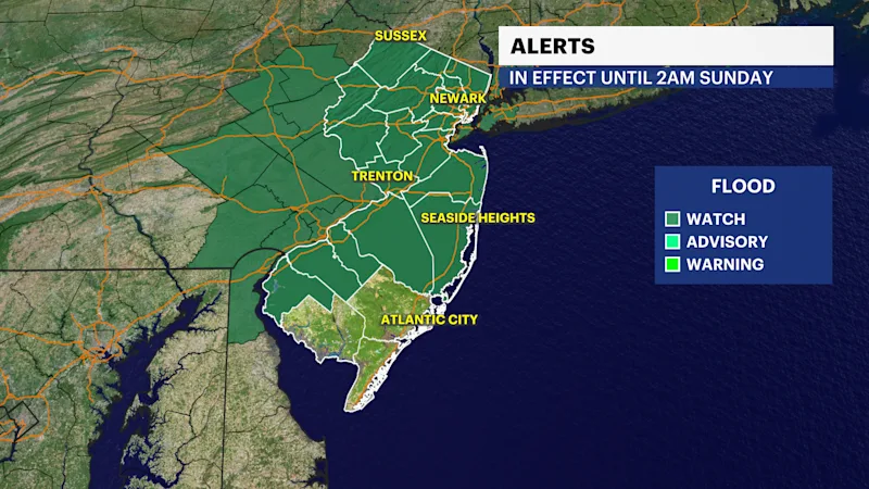
Multiple rounds of showers and thunderstorms are expected today, with some storms capable of producing damaging wind gusts, torrential rainfall and localized flooding.
More Stories


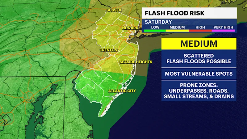
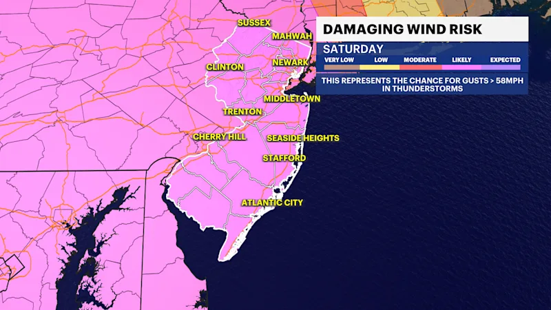
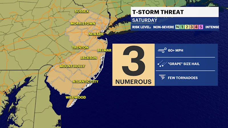
Get ready for the possibility of severe storms to move into our area for your Saturday. Showers and thunderstorms will become widespread through the morning and continue into the afternoon, with some storms capable of becoming severe. Damaging wind gusts, torrential downpours and frequent lightning are the primary threats, and localized flooding is possible where the heaviest rain falls.
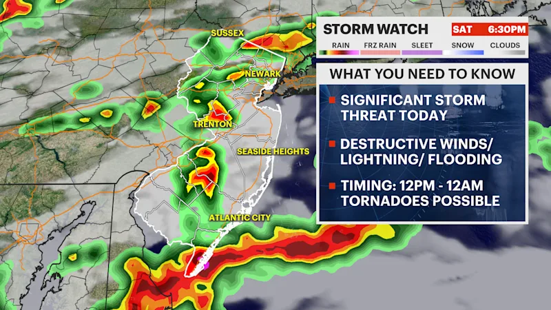
Wildfire smoke may also linger early in the day, leading to hazy skies before the rain arrives. Rainfall totals could approach an inch or two in some locations, and gusty winds may accompany the strongest storms. If you have outdoor plans, be prepared to move indoors quickly if warnings are issued.
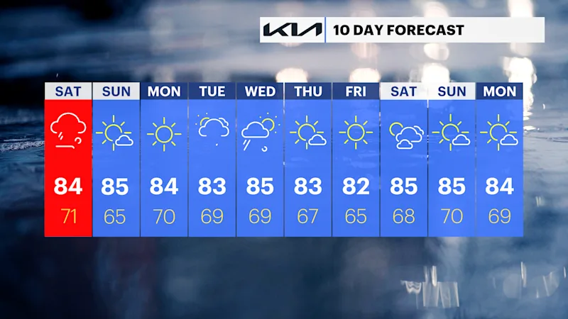
Conditions improve dramatically on Sunday as sunshine returns with lower humidity. Dry weather continues into Monday before another round of showers and thunderstorms moves in by Tuesday and lingers into Wednesday.
Today: Showers and thunderstorms, some of which could be severe with damaging winds, heavy rain and frequent lightning. Highs in the lower 80s.
Sunday: Sunny, less humid and much more comfortable. Highs in the mid-80s.
Monday: Sunny with pleasant summer weather. Highs in the lower to middle 80s.
Tuesday: Mostly cloudy with showers and thunderstorms developing during the afternoon. Highs in the lower 80s.
Wednesday: Mostly cloudy with scattered showers and thunderstorms. Highs in the mid-80s.
Thursday: Mostly sunny and pleasant. Highs in the lower to middle 80s.
Friday: Mostly sunny and warm. Highs in the mid-80s.