STORM WATCH: Severe thunderstorms and flash flooding possible Tuesday
Showers and thunderstorms the next two days may bring 2-5" of rain and damaging winds
More Stories


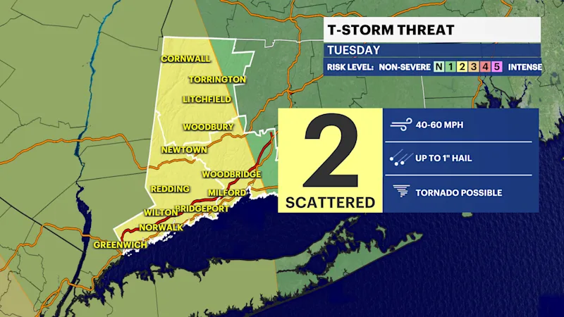
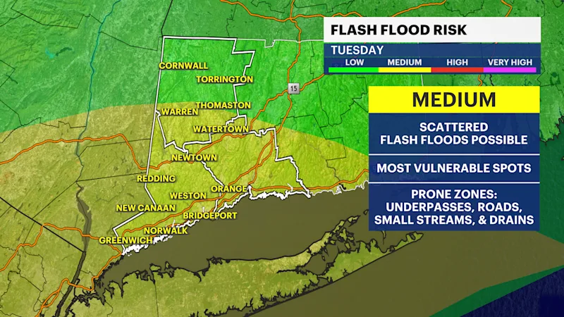
After a nice break from the bad weather over the last two days, severe thunderstorms and flash flooding return starting Tuesday. While each storm event is different, there are some strong similarities and a similar setup to the weather that we just had on Saturday.
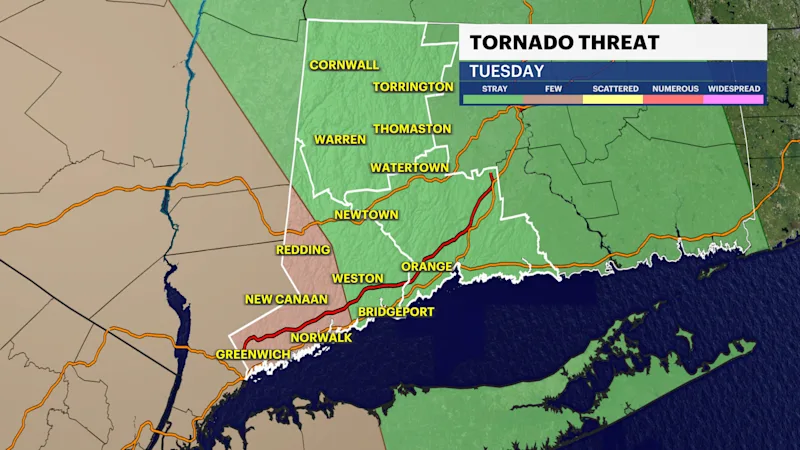
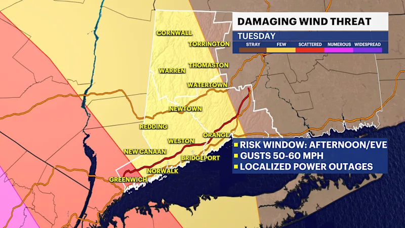
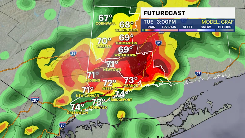
It will get extremely humid again tomorrow. There is a risk of a few showers or storms early in the day, but the storms that hit in the afternoon and evening will be the ones that could have damaging winds and even an isolated tornado. There is a much higher risk of more numerous severe storms west of us tomorrow, but some of them may hold together as they cross from the Hudson Valley and into Connecticut.
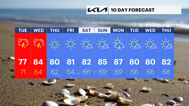
There will be torrential downpours which may lead to flash flooding. A second round is also likely Wednesday because that's when the actual cold front moves through. Altogether, there could be several inches of rain in spots.
The end of the week will be spectacular with plenty of sun, comfortable levels of humidity and pleasant temperatures in the lower 80s.