Newark Information
☀️
UV Index Today
--
Loading...
🍃
Air Quality
--
Loading...
🌡️
Average High / Low
-- / --
1991-2020 Normals
EWR Climate
🏆
Record High / Low
-- / --
Loading...
EWR Climate
Loading latest Newark information...
FORECAST
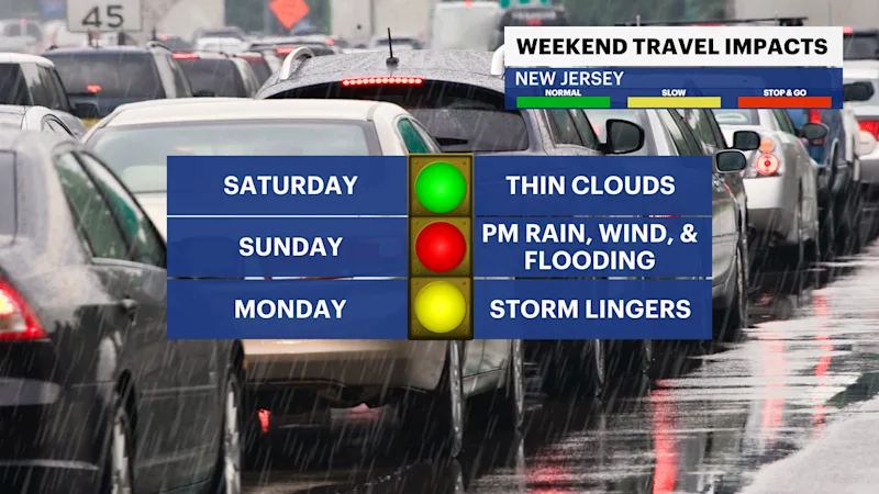
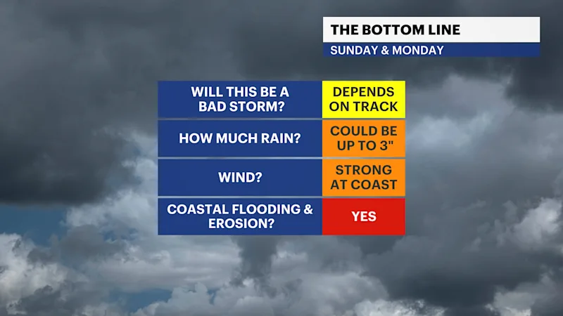
Conditions remain fair through at least Saturday with mild and calm weather conditions. There will be plenty of sunshine to share along with mild highs in the mid-60s. This all erodes with a developing coastal storm that is set to provide some impact to New Jersey by Sunday night.
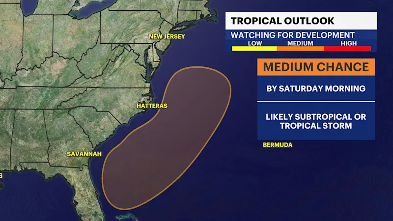
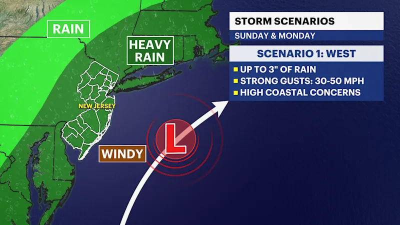
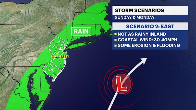
The storm is expected to develop along the southeast coast by Saturday morning. It will move north along the east coast through Sunday and it could make impacts on Sunday night into Monday. The exact track will determine the intensity of these impacts. Currently, there are two scenarios:
Scenario 1: West Track
A west track is the greatest impact with widespread rain up to 3", strong gusts 30-50mph, and significant coastal erosion and flooding.
Scenario 2: East Track
An east track is more "out to sea" where rain impacts are much lower inland. Coastal areas can still expect 1-2" of rain, strong gusts near 20-40mph, and moderate and notable coastal flooding and erosion.
Regardless of the track, coastal areas are expected to see at least a moderate impacts, with more widespread impacts if the storm takes a more direct approach to the state. Offshore conditions are hazardous regardless given the proximity of the storm. The Full Moon will amplify coastal impacts either was as well.
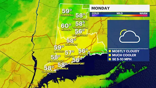
Following the storm, temperatures are cooler ahead of Thanksgiving providing highs near normal int he mid-50s.
FUTURECAST:
TIDES: