Mild and sunny through the weekend in Connecticut; watching potential coastal storm
Several more days of tranquil weather are expected before uncertainty increases late Sunday into Monday.
More Stories


Bridgeport Information
Forecast:
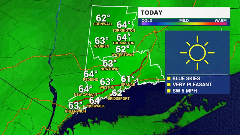
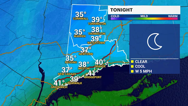
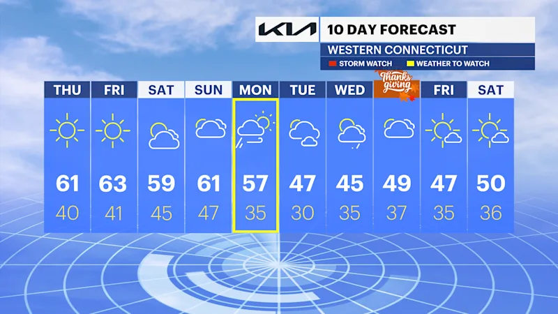
Excellent weather conditions continue across Connecticut through Saturday as high pressure dominates the Northeast.
Residents can expect mostly sunny skies, cool nights, and comfortable afternoons with temperatures reaching well into the 60s. Friday may bring some of the warmest temperatures of the week, with several communities nearing 70 degrees.
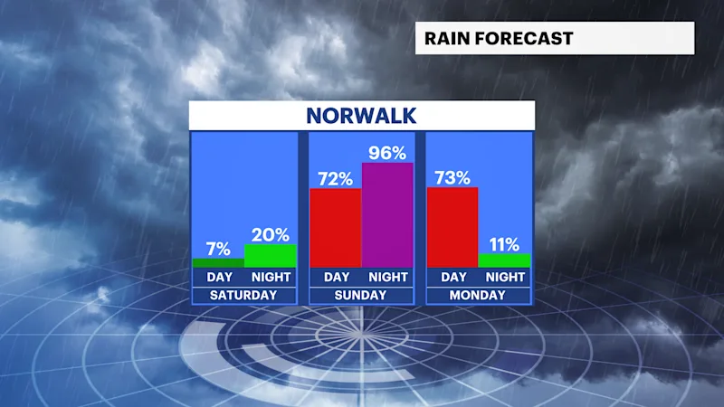
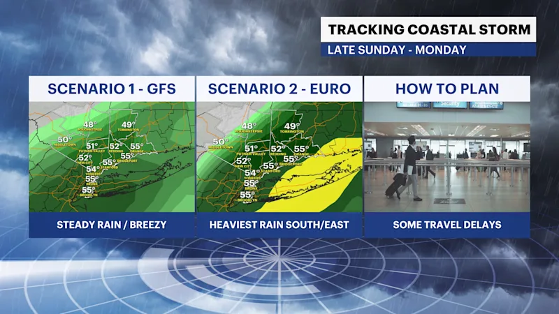
The forecast becomes less certain by Sunday as a coastal low develops offshore. Current guidance continues to show multiple possible storm tracks, creating uncertainty regarding rainfall totals and wind impacts across the state.
A storm that remains farther offshore would limit significant impacts and produce lighter rainfall. However, a closer track could bring widespread rain, gusty winds, and difficult travel conditions beginning Sunday afternoon and continuing into early Monday.
Should the system move closer to southern New England, rainfall amounts of 1 to 2.5 inches and wind gusts of 30 to 40 mph would be possible, especially across coastal Connecticut. Isolated higher gusts nearing 50 mph cannot be ruled out.
Travelers heading out ahead of the Thanksgiving holiday should continue monitoring forecast updates during the coming days.
Bottom Line:
Dry and pleasant weather persists through Saturday. Sunday afternoon through Monday morning could bring rain, gusty winds, and travel disruptions depending on the storm's eventual track.