HEAT ALERT: One more day of the high heat and some thunderstorms
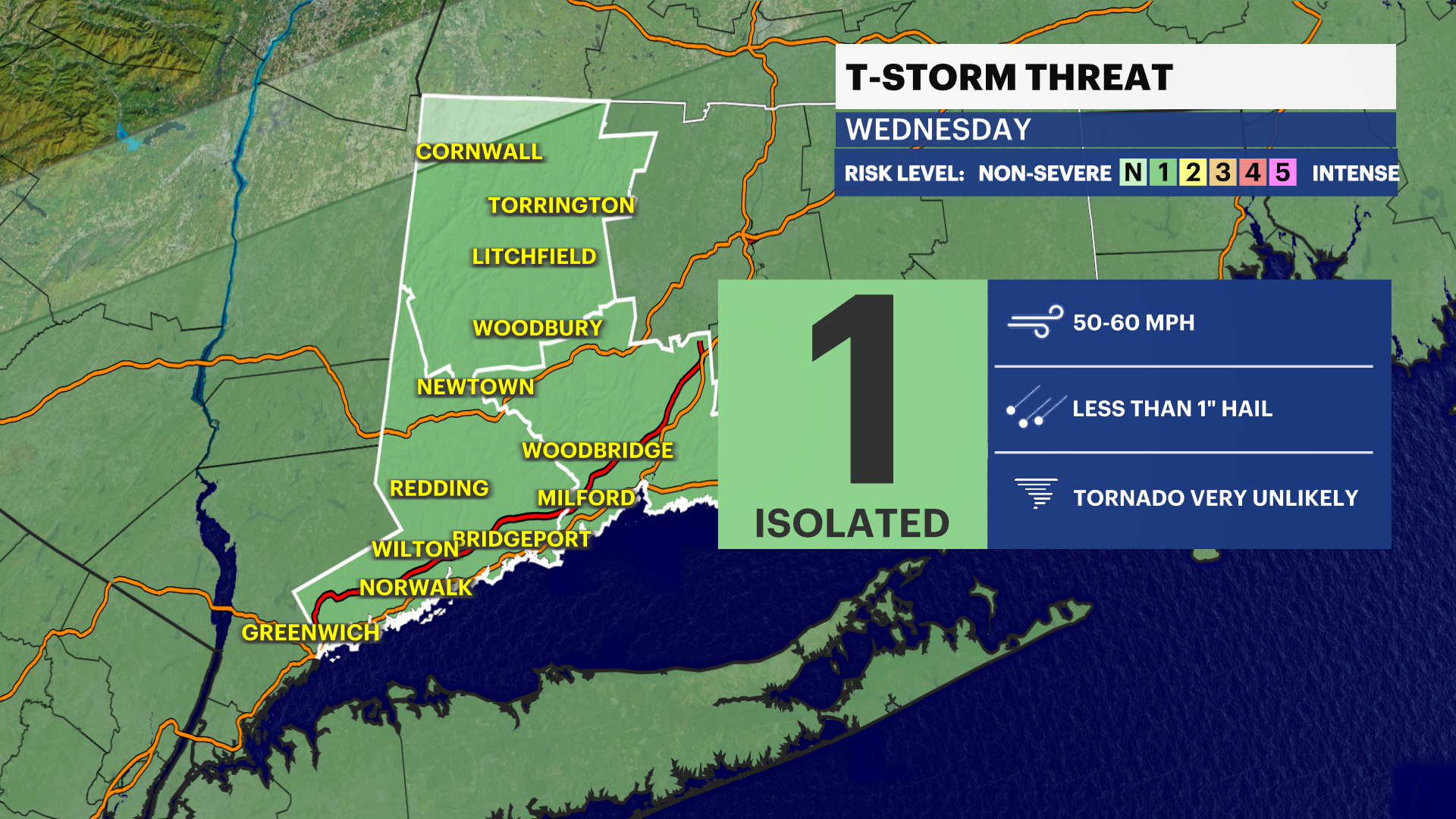
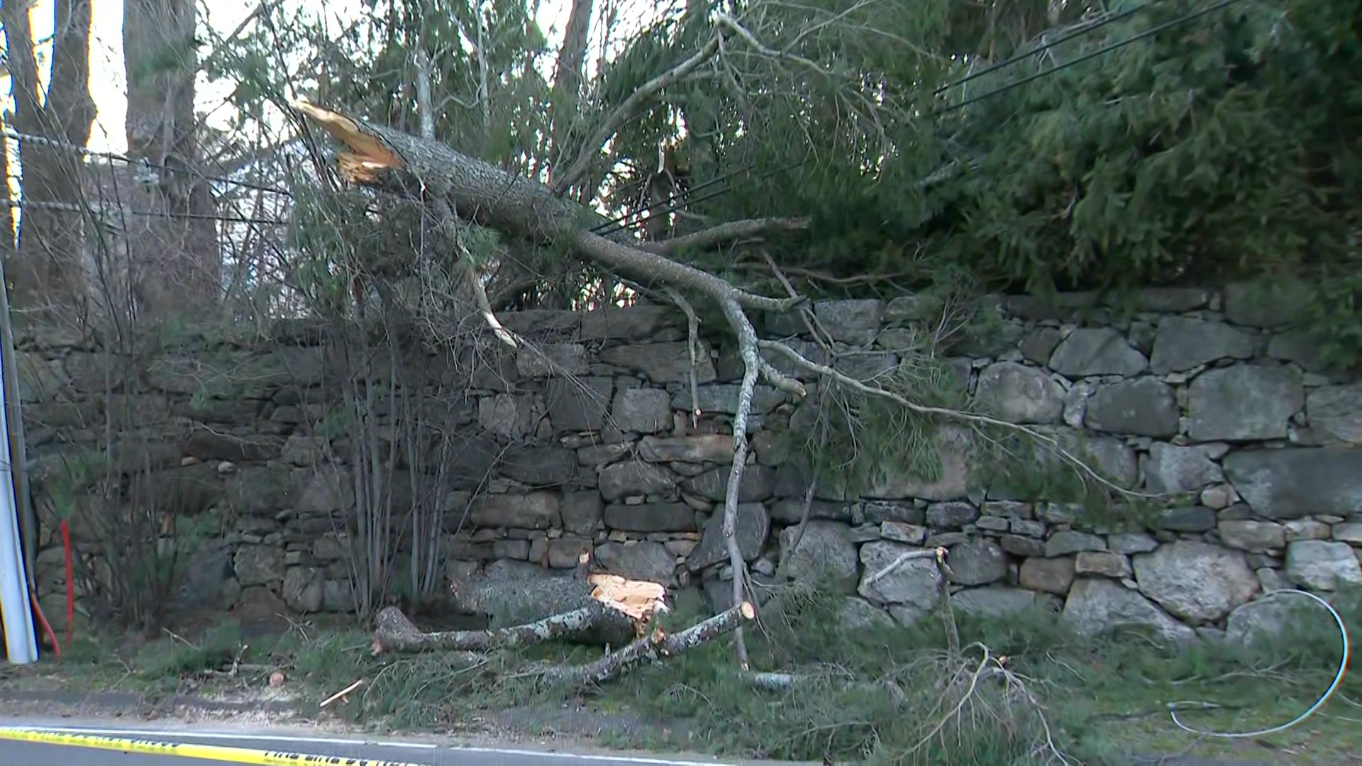
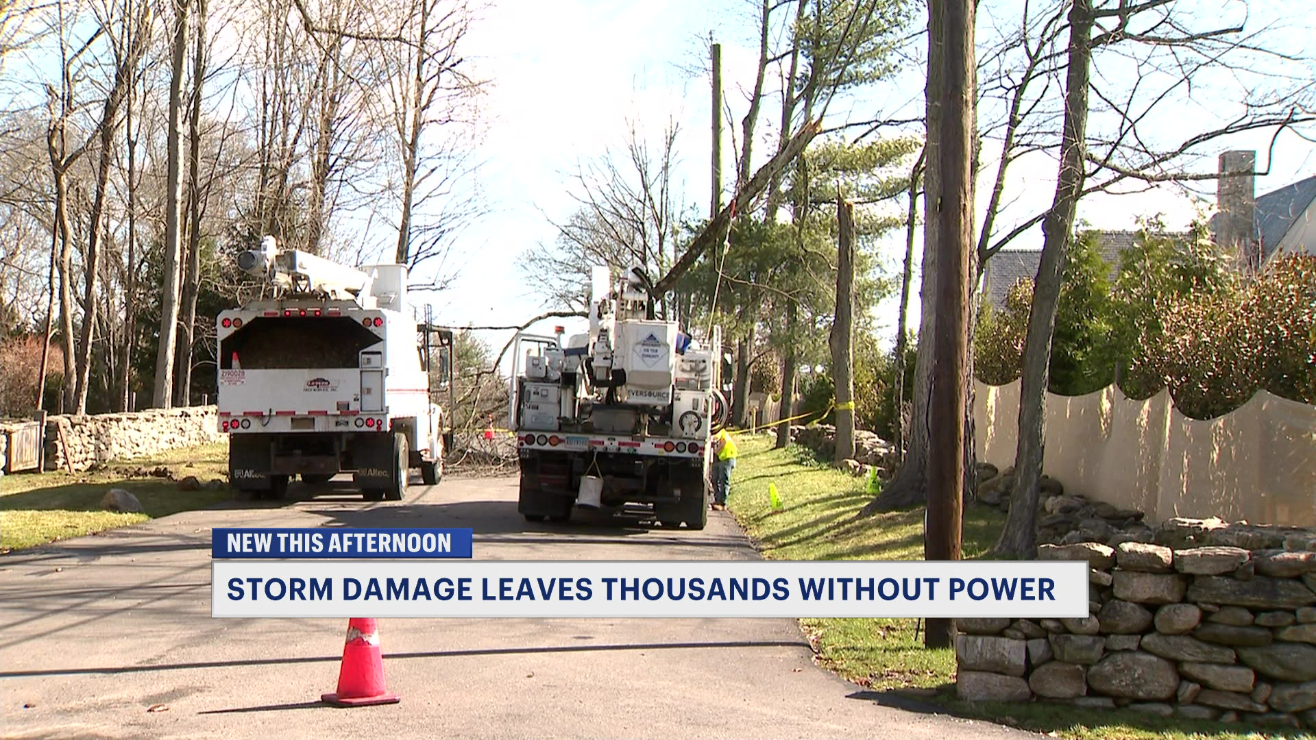
Storms tomorrow could have damaging winds and hail. Have a plan if you'll be outdoors
More Stories
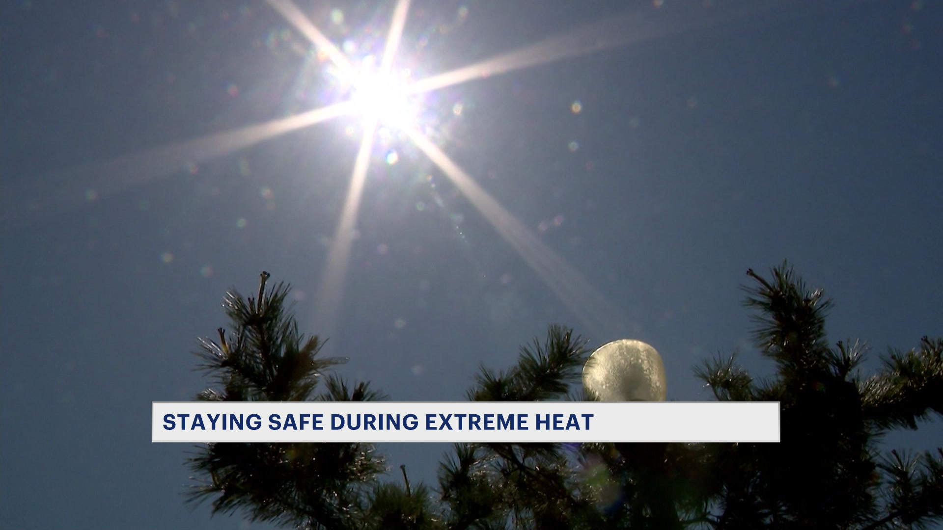


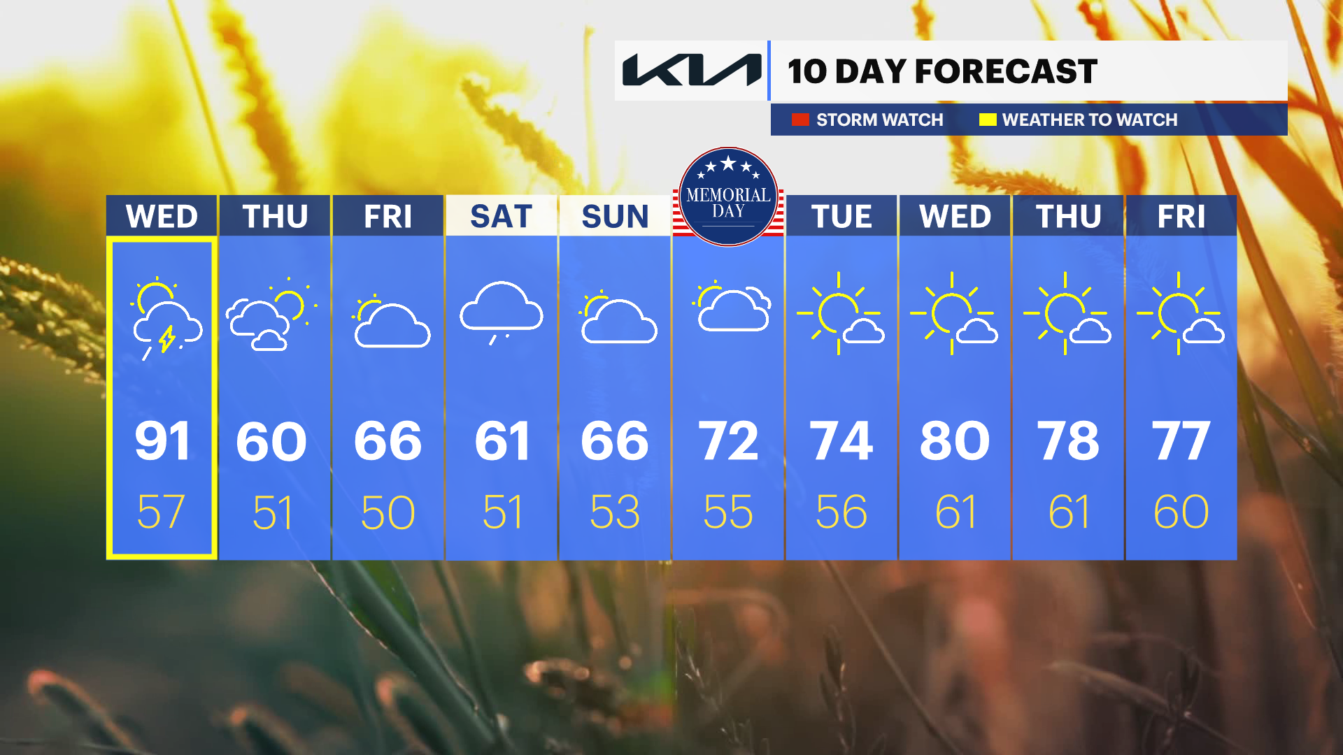
The high heat and humidity will continue one more day before temperatures return to normal for the rest of the week. After tying a temperature record of 88 degrees today in Bridgeport, temperatures will fall back into the 50s for Wednesday night and only sit in the 60s for the holiday weekend.
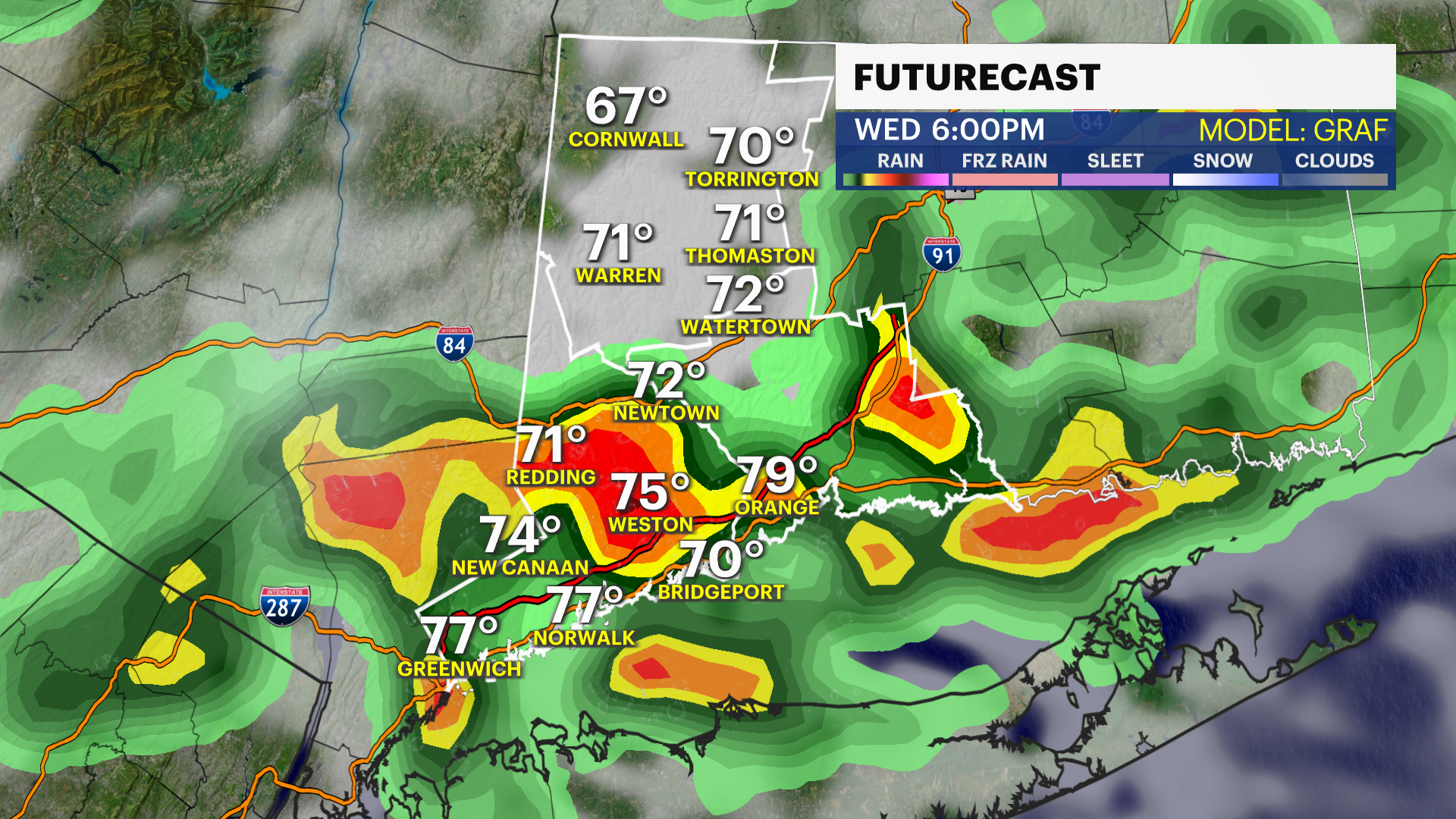
More thunderstorms are on the way for tomorrow. Storms on Wednesday will be more widespread with the passage of a cold front. Some of the storms could also have damaging winds and hail.
If you are heading down to the waterfront and beaches, please note that water temperatures in the Long Island Sound remain dangerously cold. Swimming is highly discouraged, as water this cold can rapidly cause hypothermia.
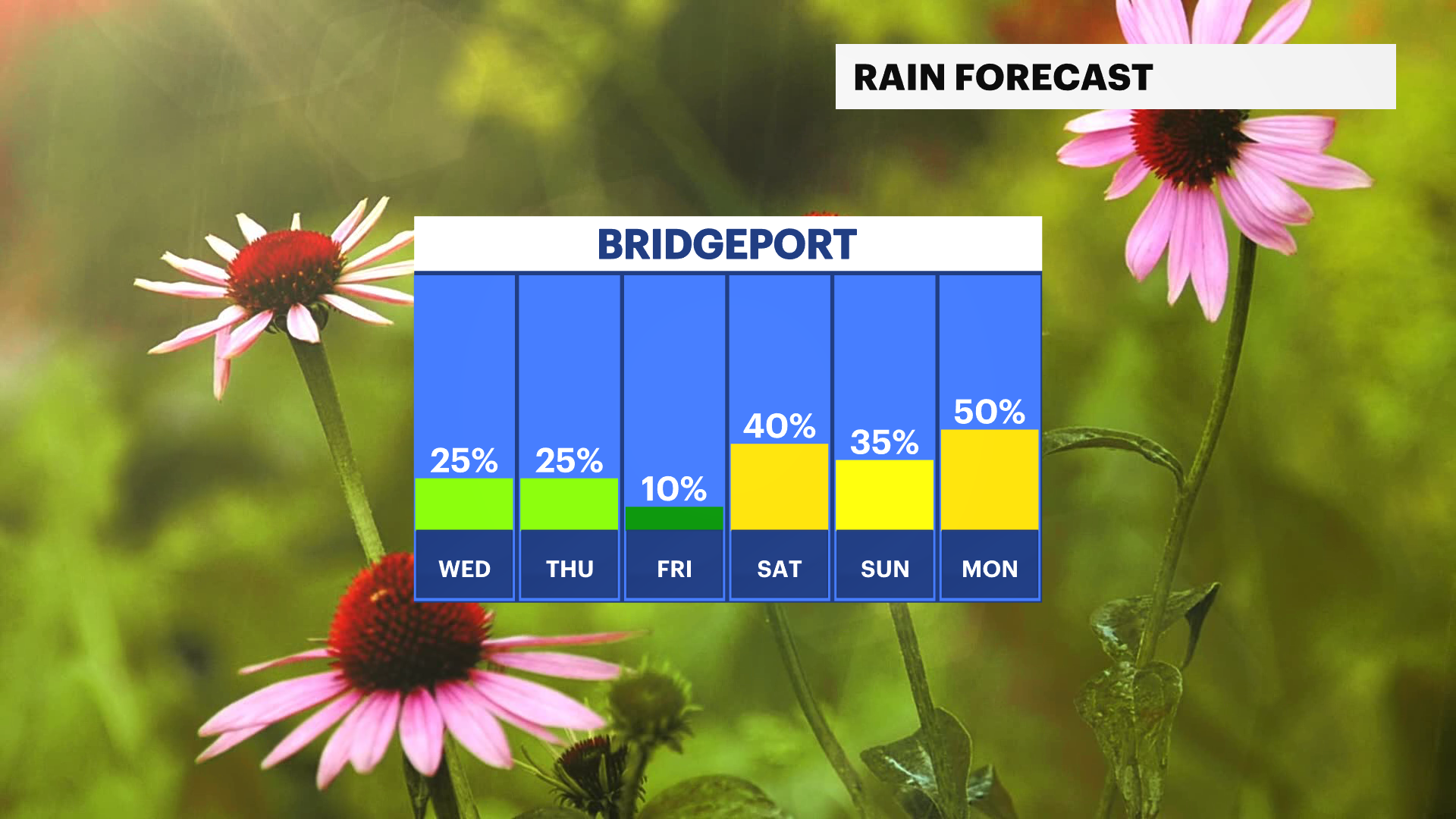
Rain chances will return starting Saturday. They will be on and off through Monday.
Stay with News 12 Connecticut for more updates on the Memorial Day weekend.