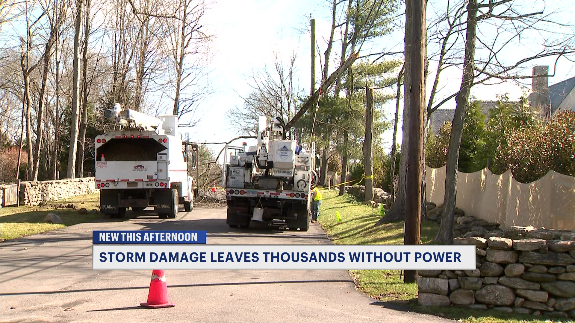
Downpours arrive tonight with improving weather by the weekend
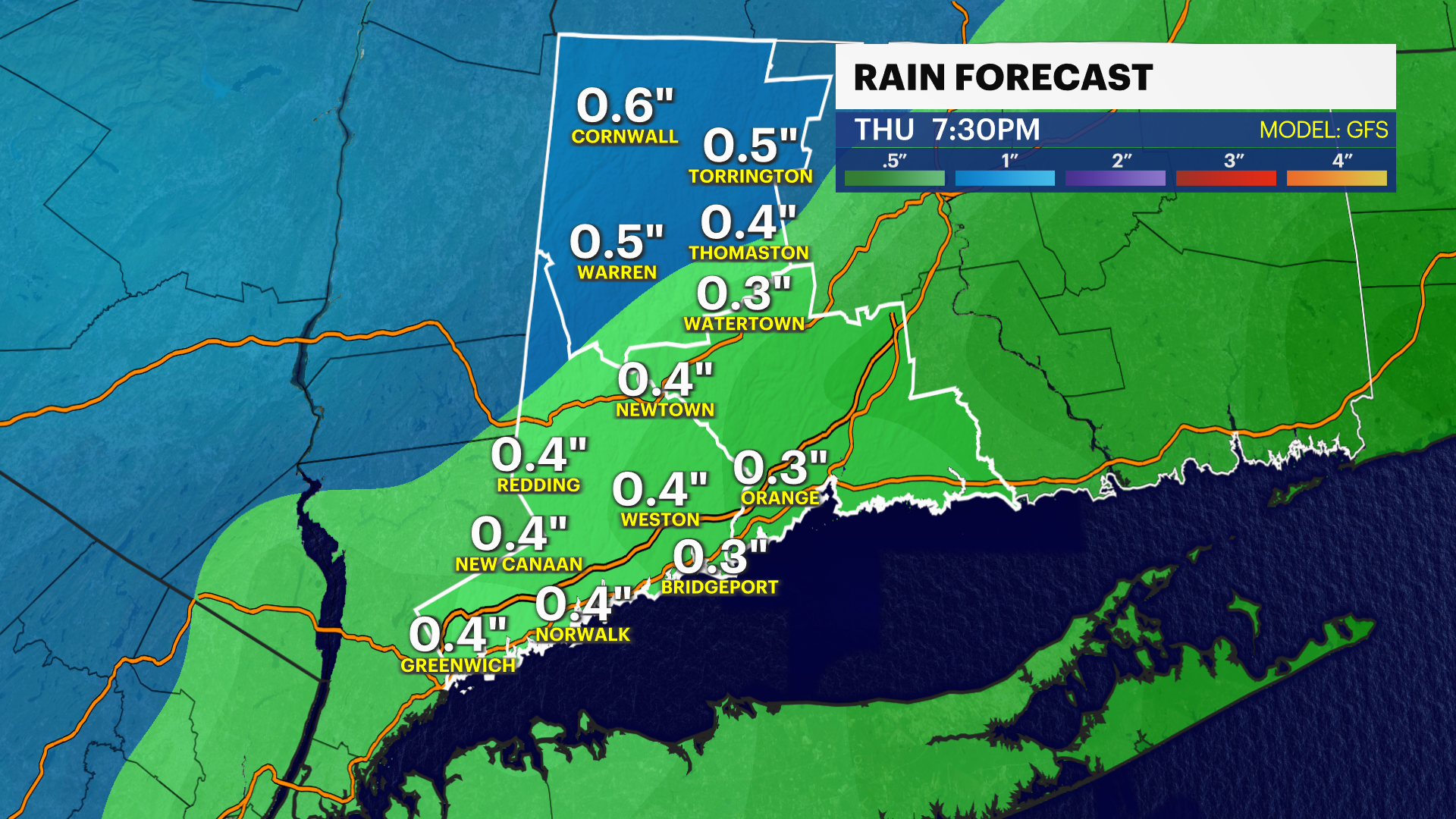
Up to one inch of rain likely heading into Thursday morning.
More Stories


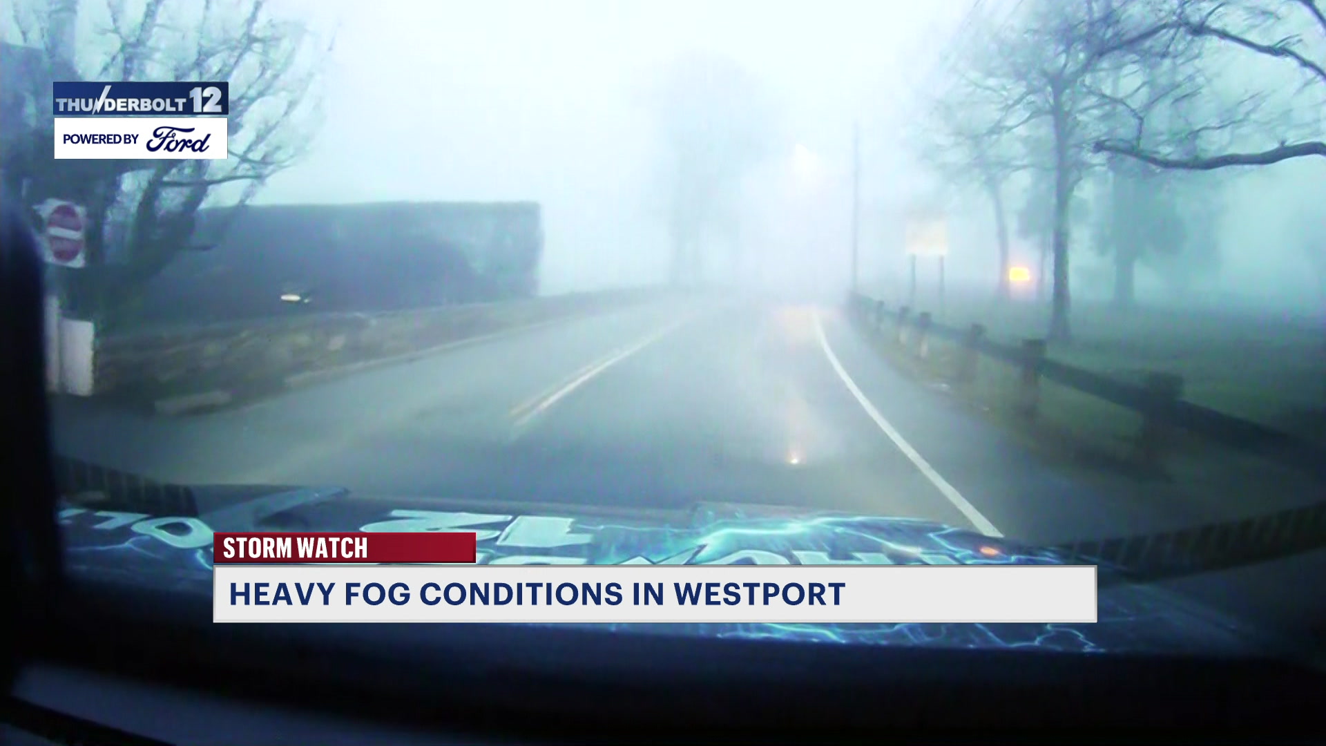
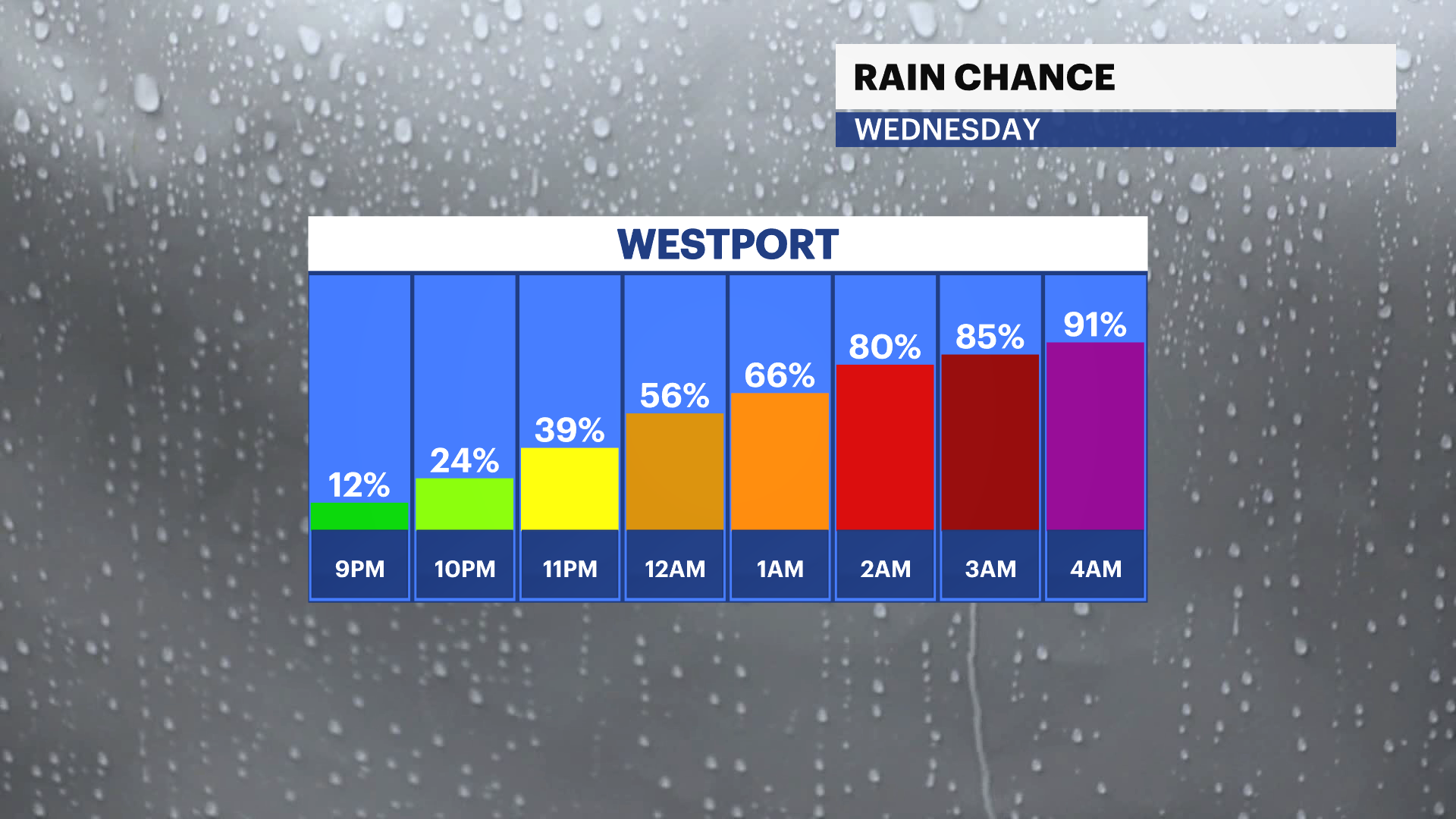
Rain is on the way, but it doesn't arrive until around 8 p.m. today.
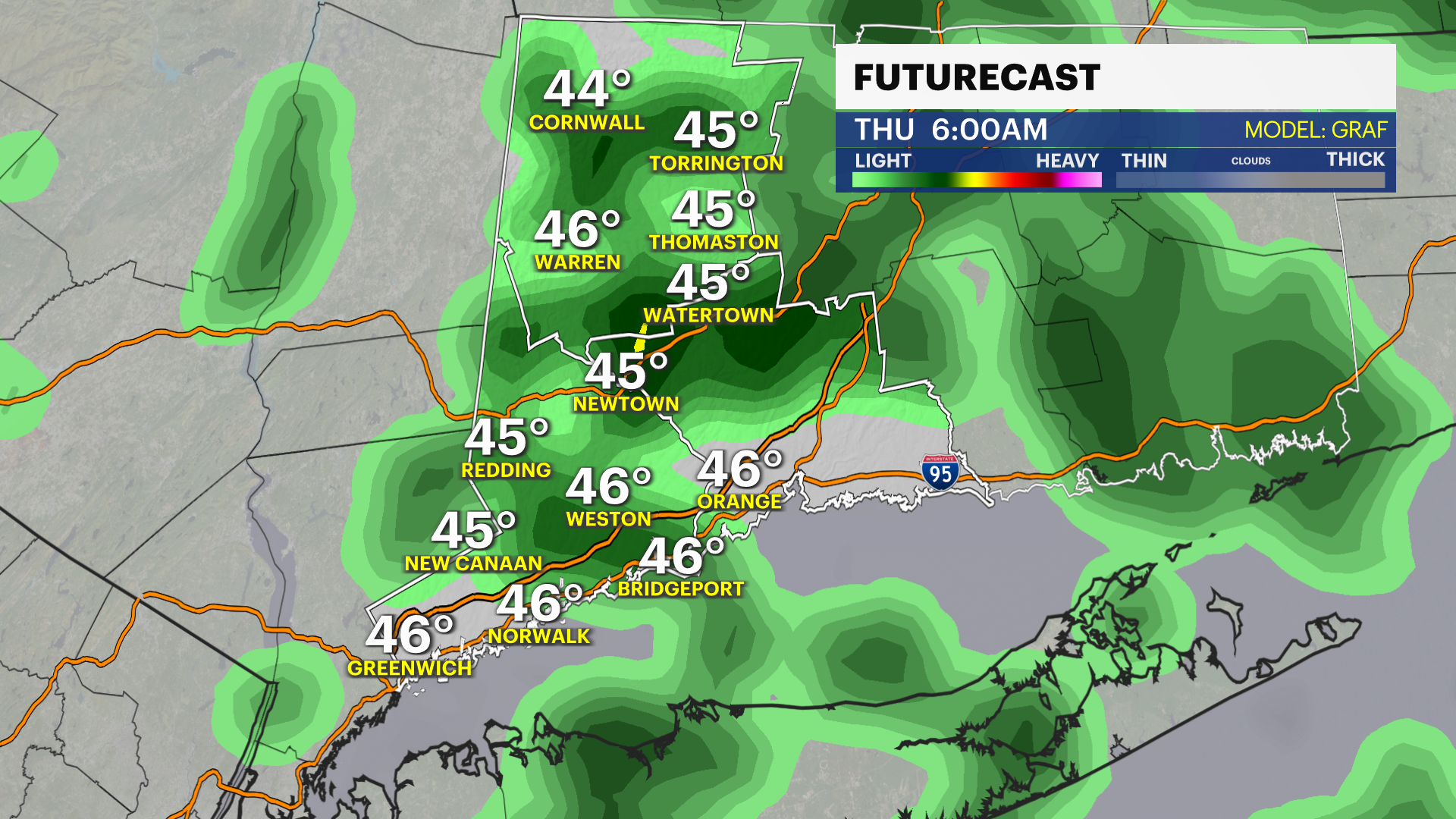
Most of the rain will fall at a good time for most - during the night. Showers will start around 8 p.m. tonight and continue through the morning commute on Thursday. The worst of the rain will fall lightly to moderately and before the sun rises on Thursday. Roads will be wet, and we can expect about half an inch to 1 inch of rain. This, of course, is needed because rain gauges are still coming up short for April.
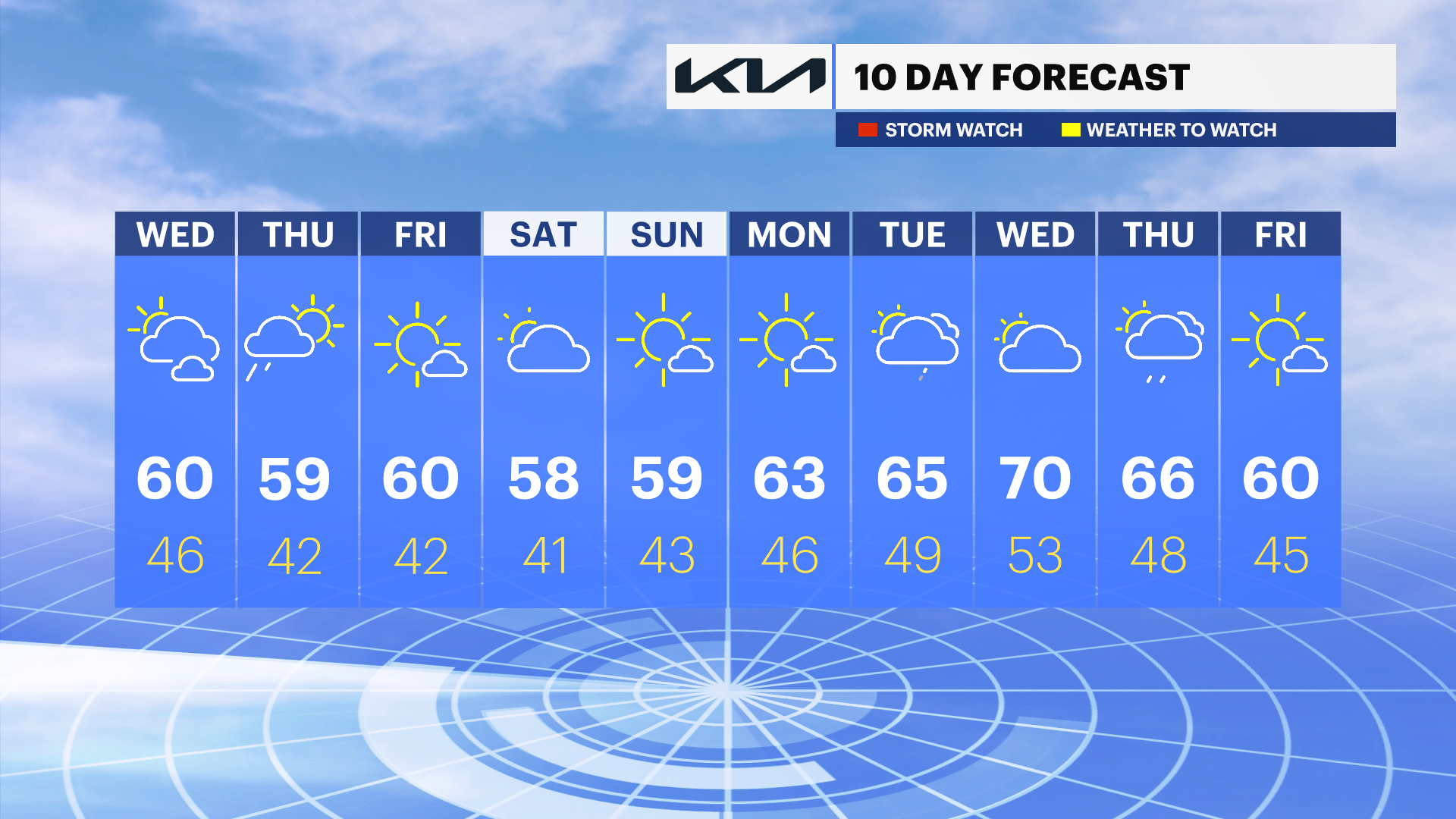
Rain chances for the weekend are looking a bit slimmer, as forecast models keep the rain and storms over the weekend too far away for now.
Temperatures will be cooler for the remainder of the week. Highs during the day will reach the upper 50s to near 60, and overnight lows will be chilly with some upper 30s and lower 40s. There still may be a frost potential for inland areas heading into May.