Winter Weather Awareness Week: Ice storms
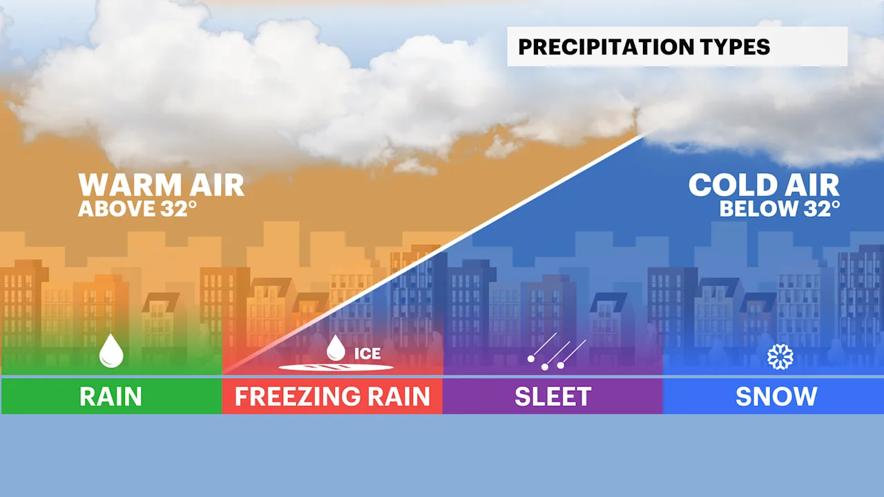
There are three types of winter precipitation. There is snow, freezing rain and sleet.
More Stories


Ice storms are less common across the tristate during the winter season. Although, ice storms are more frequently seen from Northern New Jersey to the Hudson Valley and Southwestern Connecticut, it could make it to New York City and Long Island.
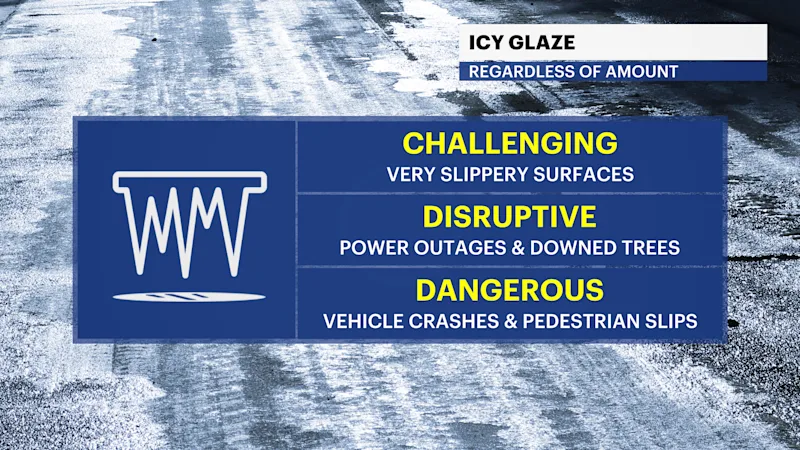
There are three types of winter precipitation. There is snow, freezing rain and sleet. Freezing rain is a liquid that falls in a warm column of air and freezes when surface temperatures are at or below 32 degrees. Once the rain freezes upon contact with the ground or objects, a layer of ice forms. Freezing rain can accumulate and weigh down tree branches, powerlines and cause widespread disruptive travel. It only takes a trace of freezing rain to bring significant impacts.
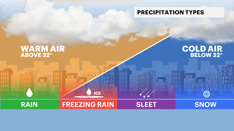
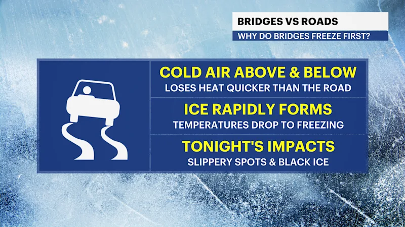
Sleet is frozen raindrops. It occurs when liquid rain freezes before it reaches the ground. It falls into a cold column of air when temperatures are at or below 32 degrees. Sleet or freezing rain can create slick spots on roadways and sidewalks with little to no warning. Bridges, overpasses and elevated roadways are especially susceptible to icing as they are surrounded by the cold air and freeze more quickly.
This upcoming winter season, the NWS ice accumulation observations and forecasts will standardize with respect to radial ice measurement. Radial ice amounts are the radial thickness of new ice accumulation upon tree branches or powerlines. Last winter, the NWS forecasted and reported flat ice amounts, which is the expected thickness of new ice accumulations upon elevated horizonal flat ice surfaces. It is normally seen on top of car roofs or deck railings.
Standardizing forecasting and reporting of radial ice amounts will help the NWS focus on impacts associated with radial ice. Flat ice amounts are difficult to describe regarding infrastructure impacts to cylindrical tree branches or powerlines. The accumulation of radial ice better captures impacts on trees and powerlines, especially when combined with wind. Radial ice amounts will continue to be measured in hundredths of inches and forecasted within six-hour periods.
Stick around for day four of Winter Weather Awareness Week as we break down winter floods.


