Clouds build Wednesday before sunshine returns to Connecticut
A mix of sun and clouds take over Wednesday before a stretch of sunshine arrives for the end of the week, with temperatures climbing into the upper 60s and low 70s.
More Stories



Bridgeport Information
WHAT TO KNOW
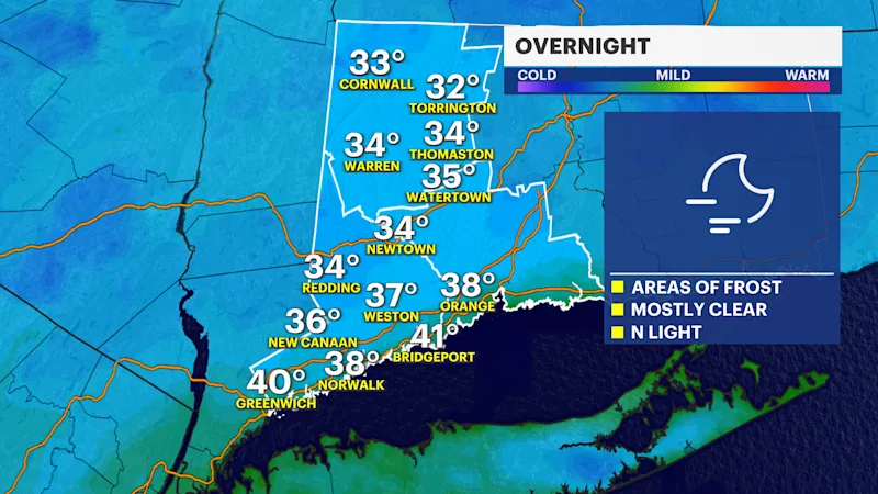
A chilly start is ahead Wednesday, with temperatures dropping into the upper 30s on Tuesday night before sunshine returns during the day.
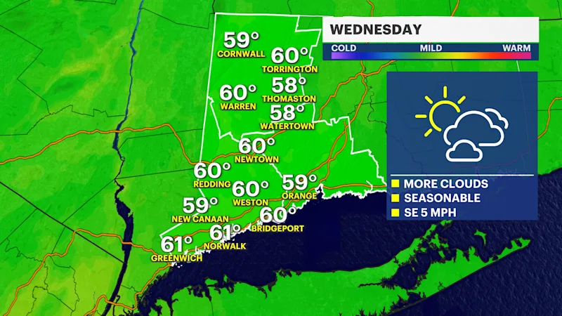
Highs will reach around 60, with a light breeze.
A dry and comfortable stretch of fall weather follows for the end of the workweek.
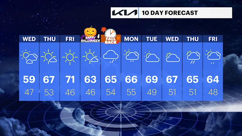
Thursday brings plenty of sunshine and temperatures climbing into the upper 60s, followed by a warmer Friday with highs reaching the low 70s.

The weekend turns cooler, with temperatures dropping back into the 60s and clouds becoming more prevalent.
Shower chances increase Sunday night and continue into Monday, bringing a more unsettled end to the forecast period.
FORECAST
Wednesday: Mostly sunny and cool, with highs in the upper 50s to around 60.
Thursday: Sunny and milder, with highs in the mid- to upper 60s.
Friday: Plenty of sunshine and warmer temperatures, with highs in the low 70s.
Saturday: Mostly sunny and cooler, with highs in the low to mid-60s.
Sunday: Mostly cloudy, with highs in the low to mid-60s.
Monday: Mostly cloudy, with a chance of showers. Highs in the mid-60s.