Winter clothing may be needed again with the coldest day of the week today.
Temperatures will gradually warm up this week as rain chances stay low.
More Stories

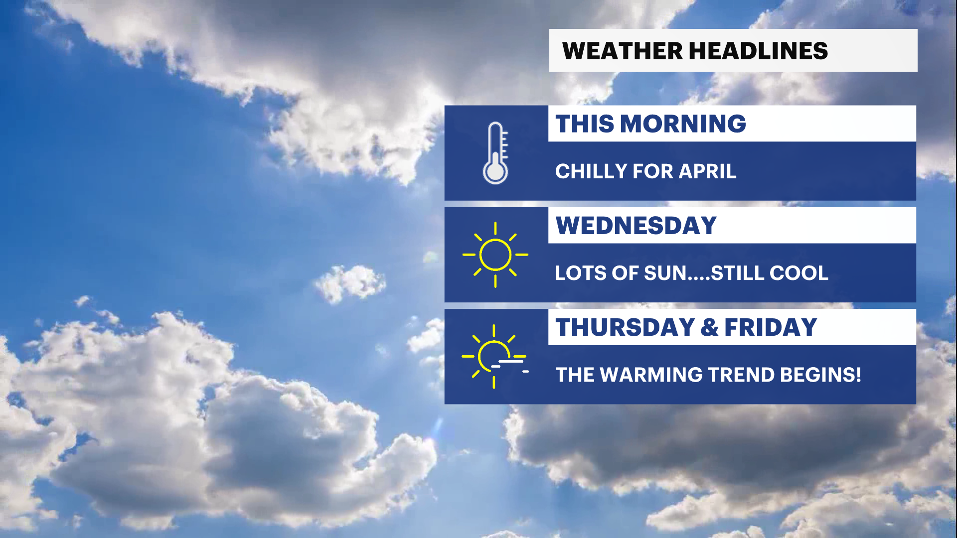


The COLDEST DAY OF THE WEEK is here today and it has felt chilly since late last night!
Temperatures will be trending below average all day long, but thankfully, the winds are weaker than yesterday. So it won't feel as frigid as it could be, but nonetheless, the chill will be felt out and about today. Keep the sunglasses within reach as we expect a sun-filled day today with barely a cloud in sight.
Temperatures slowly bounce back towards seasonal/normal levels for this time of year on Thursday.
By Friday, the temperatures will be reaching their peak for the week. With temps into the mid-60s, mostly sunny skies and a pleasantly mild breeze, we have the PICK OF THE WEEK coming to wrap up the work week.
A weak cold front will pass by Friday night, producing a few showers overnight, and also cooling down the temps a few degrees for the weekend.
Early next week has the temperatures surging to really high levels! We could be looking at the 80s by Tuesday, where it will feel more like June than April!
There will be some shower chances popping up for Tuesday afternoon into Wednesday, along with a cool down afterwards.
ALMANAC:
Average High: 56 | Average Low: 38
Record High: 86 (1991) | Record Low: 22 (1982)
Sunrise: 6:26 a.m. | Sunset: 7:27 p.m.
THE FORECAST:
TODAY: Sunny skies but chilly temperatures are around all day. Highs: upper 40s to low 50s.
TONIGHT: Clear and not as chilly as Tuesday night. Lows: upper 20s to low 30s.
THURSDAY: Mostly sunny and seasonal. Highs: low to mid-50s. Lows: upper 30s.
FRIDAY: PICK OF THE WEEK - Mostly sunny, mild to warm temps with a pleasant breeze. Highs: mid-60s. Lows: upper 40s.
SATURDAY: Morning clouds give way to sunny skies with mild temps. Highs: low 60s. Lows: upper 30s.


