Hudson Valley enjoys one more dry day before showers and storms return
Thursday stays mostly sunny and pleasant, but showers and thunderstorms are expected to develop late Thursday night and continue at times through Friday.
More Stories


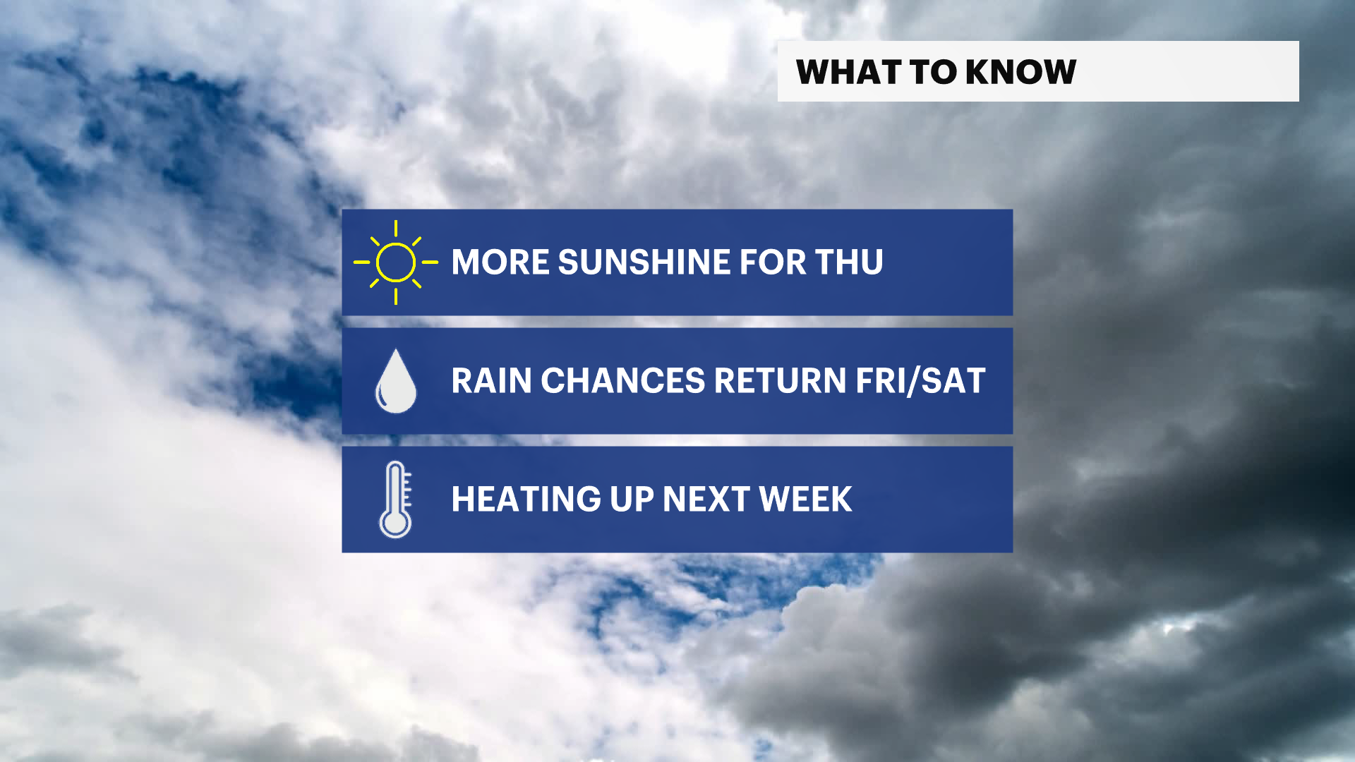
WHAT TO KNOW
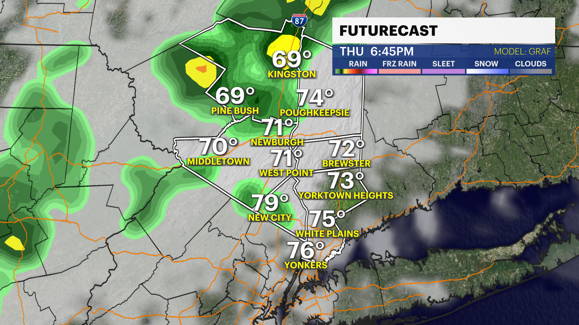
The weather remains quiet overnight and through much of Thursday, but changes are on the way as a storm system approaches from the west. Most of Thursday will feature a mix of sun and clouds with seasonable temperatures, making it the better of the next two days for outdoor plans.
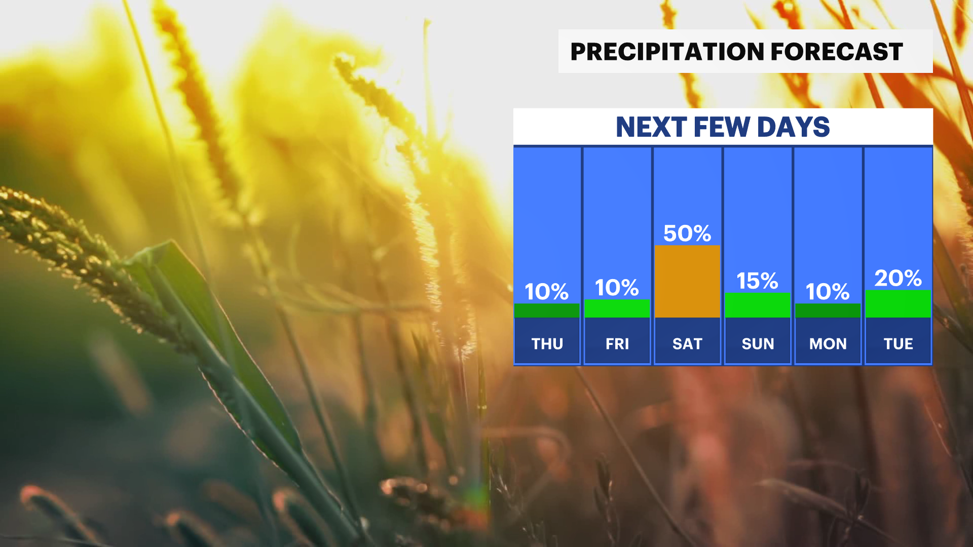
The focus then shifts to Thursday night and Friday, when showers and thunderstorms become increasingly likely. Rain is expected to develop overnight Thursday and continue at times through Friday. While not every hour will be wet, periods of steady rain and a few thunderstorms could lead to travel slowdowns and interruptions to outdoor activities. Conditions gradually improve over the weekend, with sunshine and warmer temperatures returning by Sunday.
Hudson Valley Forecast
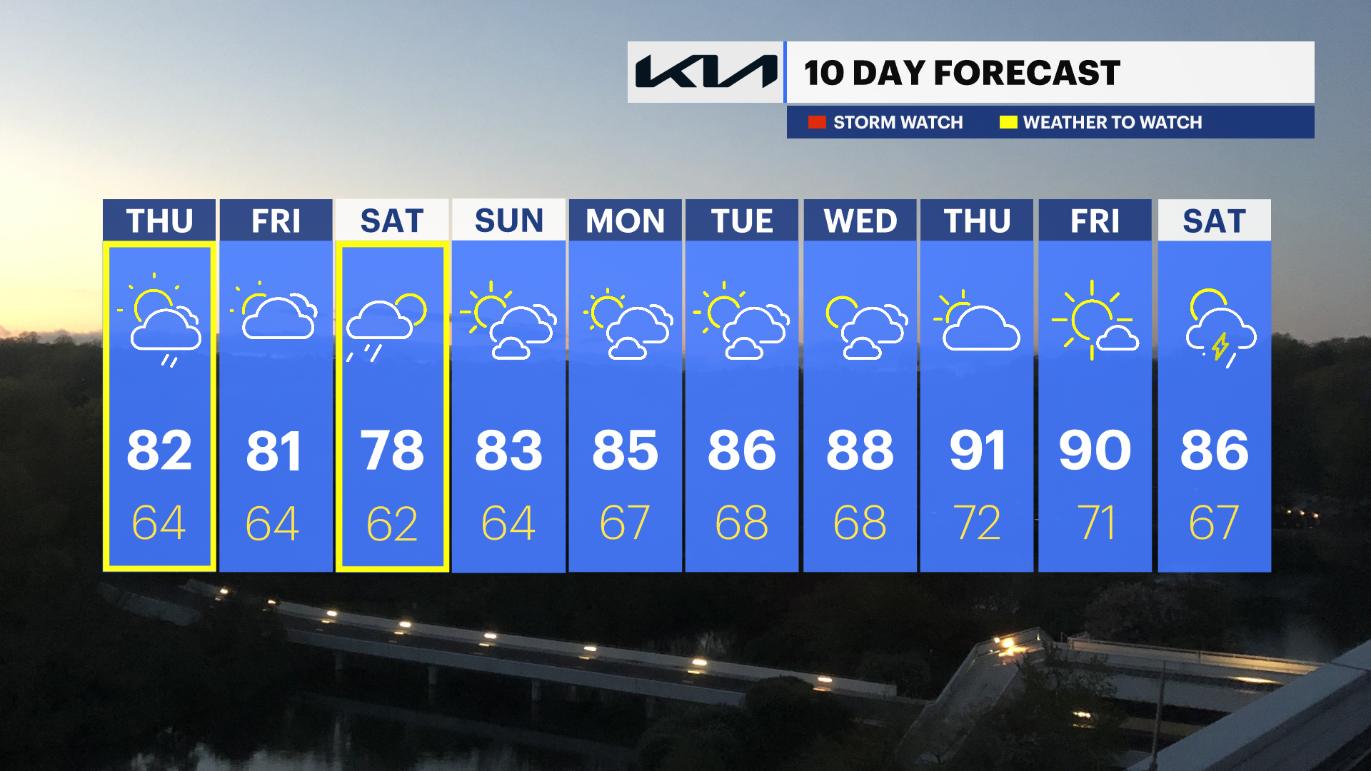
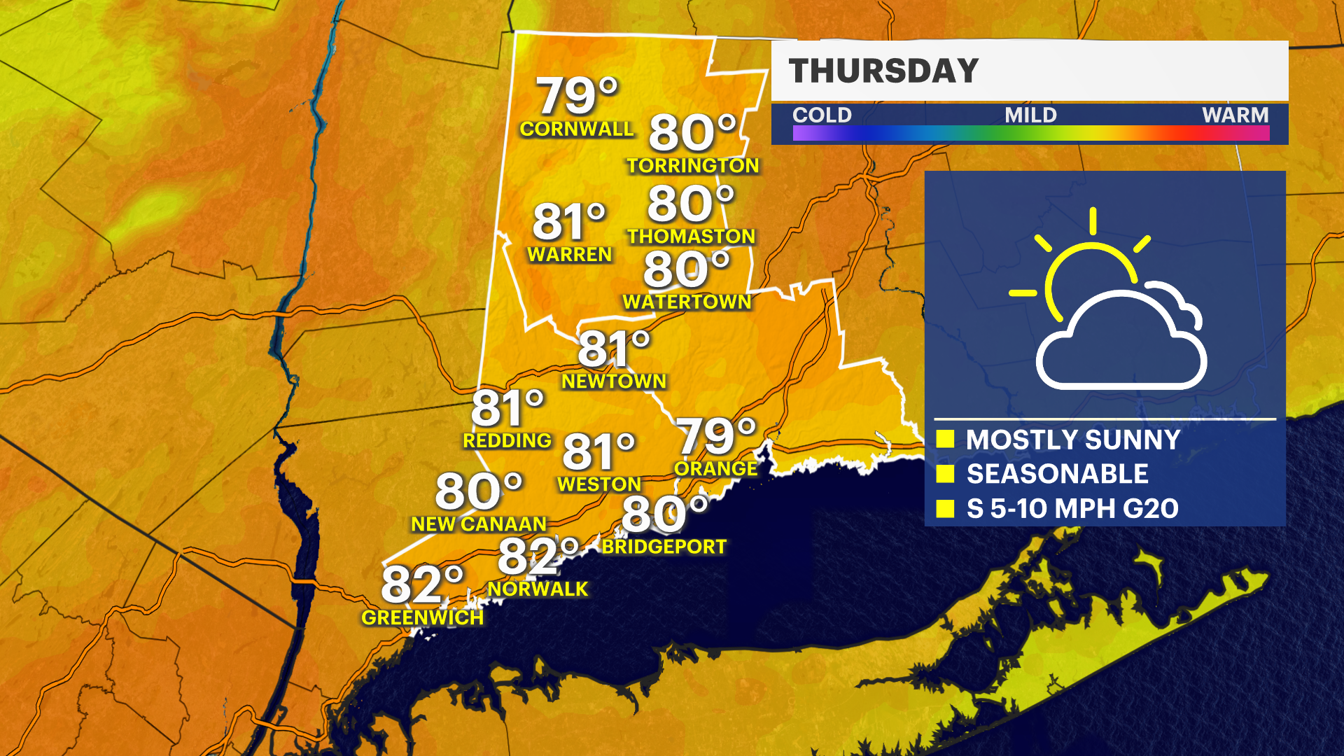
Thursday: Mostly sunny and pleasant with highs in the low 80s.
Friday: Showers are likely with a chance for thunderstorms, especially later in the day. Highs in the upper 70s to low 80s.
Saturday: Lingering showers are possible early, followed by gradual improvement through the day. Highs in the upper 70s to near 80 degrees.
Sunday: Sunny and warmer with highs in the low to mid-80s.
Monday: Mostly sunny and summer-like with highs in the mid to upper 80s.
Tuesday: Mostly sunny and warm with highs in the mid to upper 80s.