Extreme heat warnings hoisted as heat wave descends on Connecticut
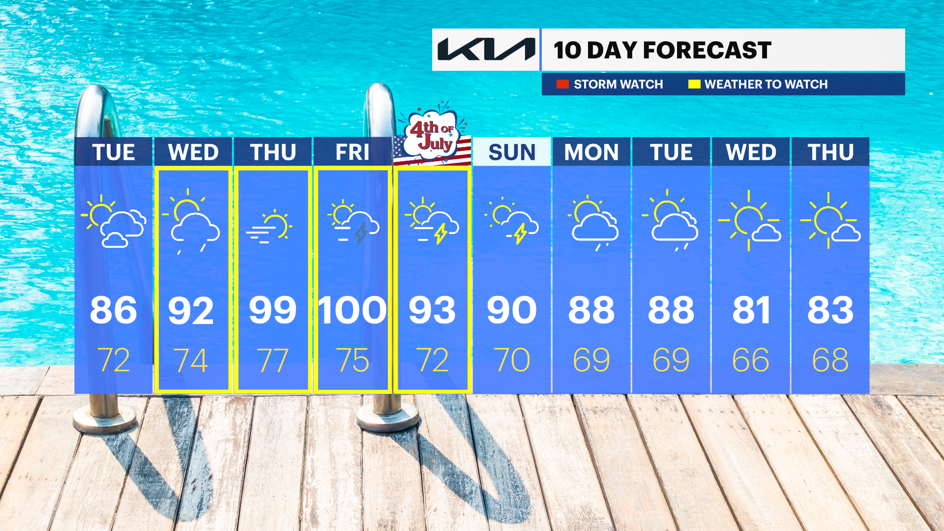
Today will feature 80s, but near 100 is possible by late week.
More Stories


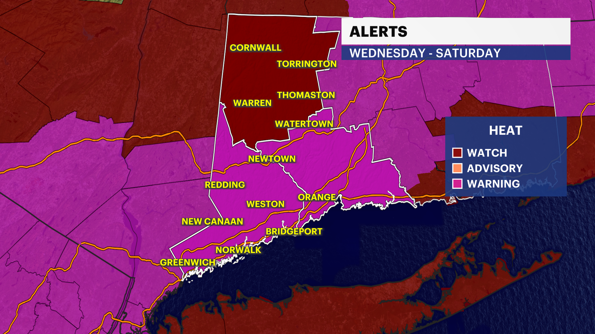
ALERTS:
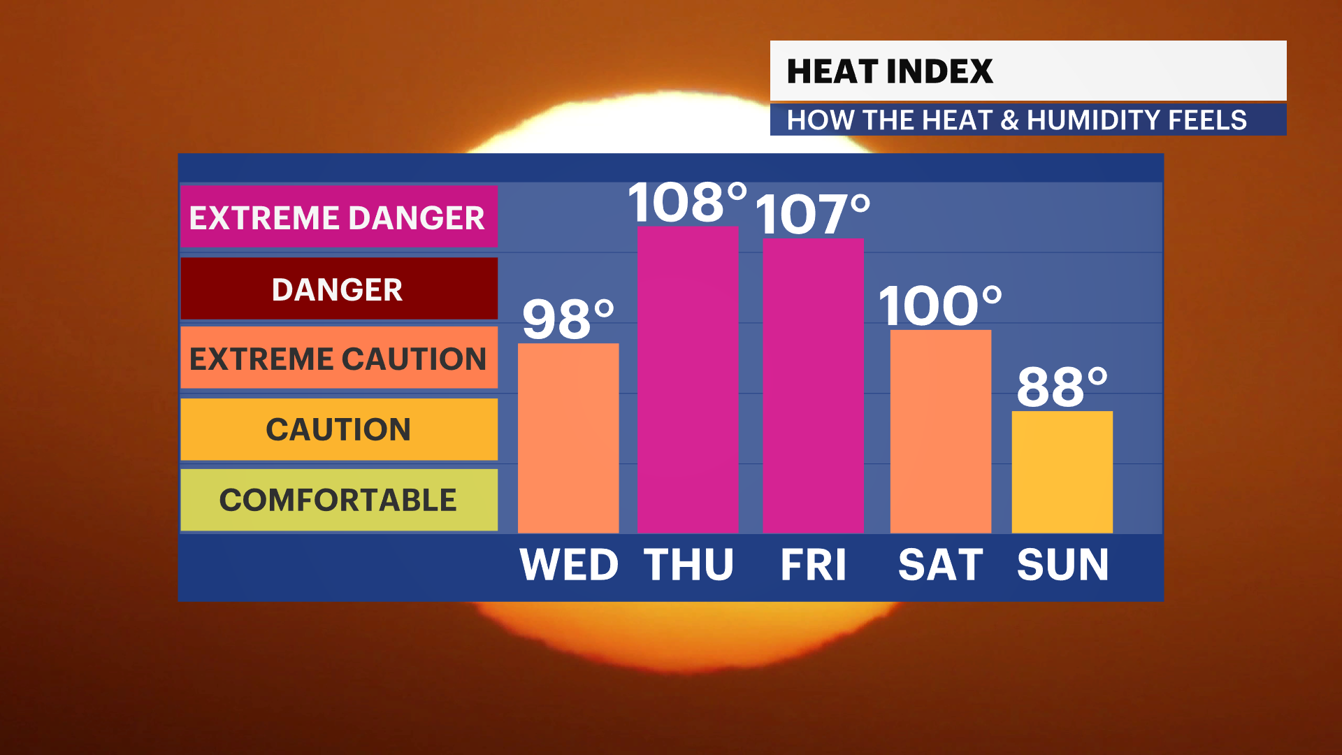
EXTREME HEAT WARNING: Wednesday afternoon through Saturday evening.
AIR QUALITY ALERT: Today until 11 p.m.
WHAT TO KNOW
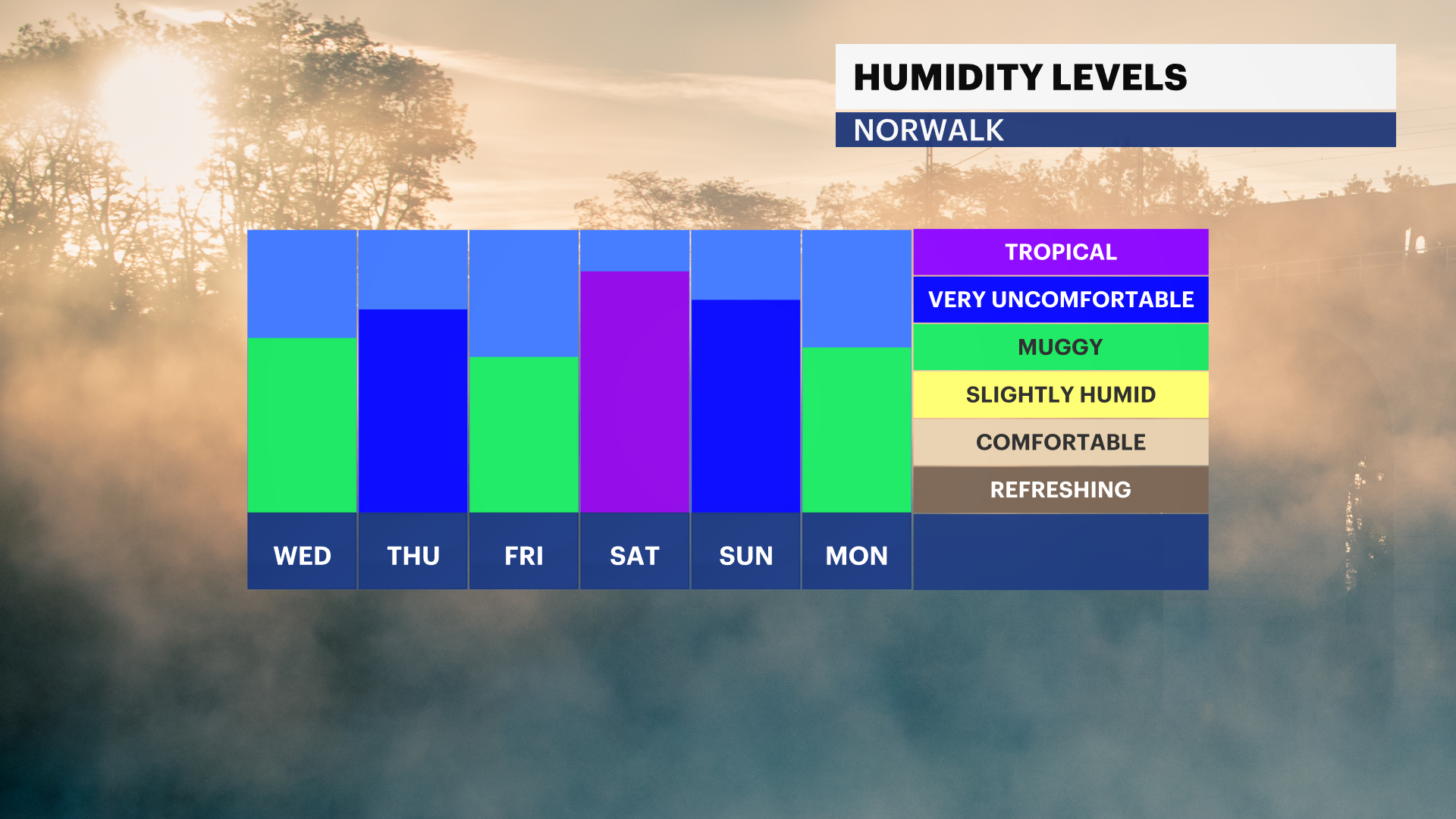
One more day below 90 degrees today with a mix of sun and clouds. The worst of the humidity hits starts on Wednesday and continues through Saturday. At that time, temperatures will also climb into the 90s. The combination of the high temperatures and high humidity will give us a heat index (or feels-like temperature) of 105-110 degrees.
The hottest days will be both Thursday and Friday, with temperatures climbing well into the 90s to near 100 degrees. Temperature records could be tied or broken later this week. Not much relief comes our way for the holiday weekend either. Temperatures will gradually subside a bit, but high temperatures will still hit the lower 90s. A few showers and thunderstorms are also possible this week and could become strong or severe. Wednesday has the potential to see some storms by late afternoon, as well as Friday through the weekend.
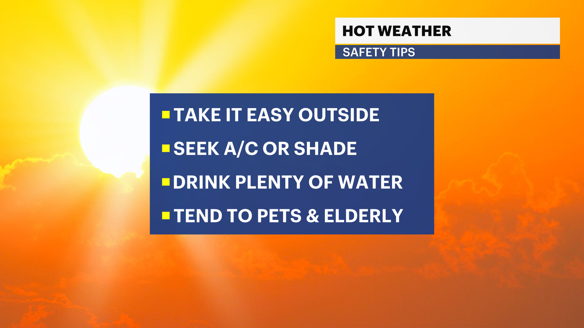
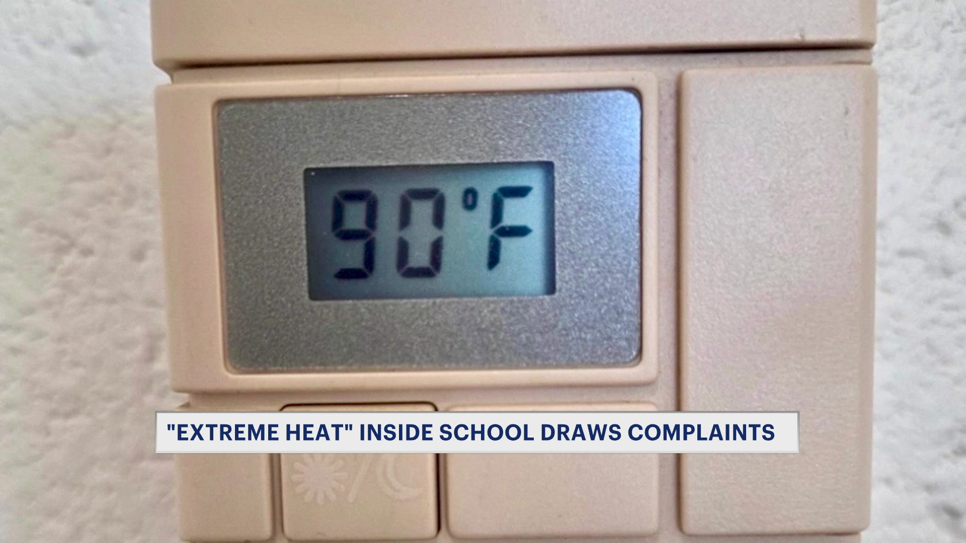
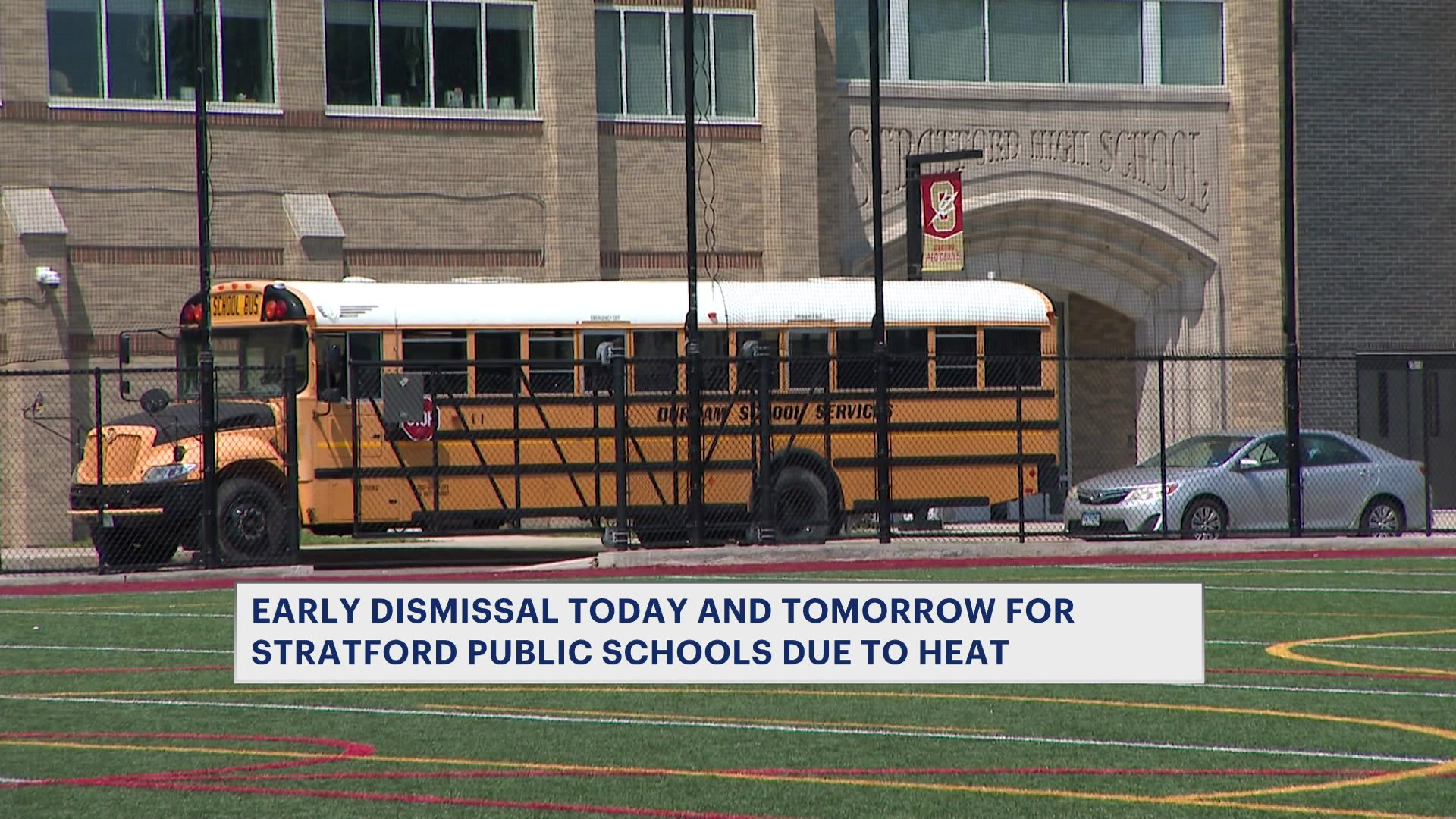
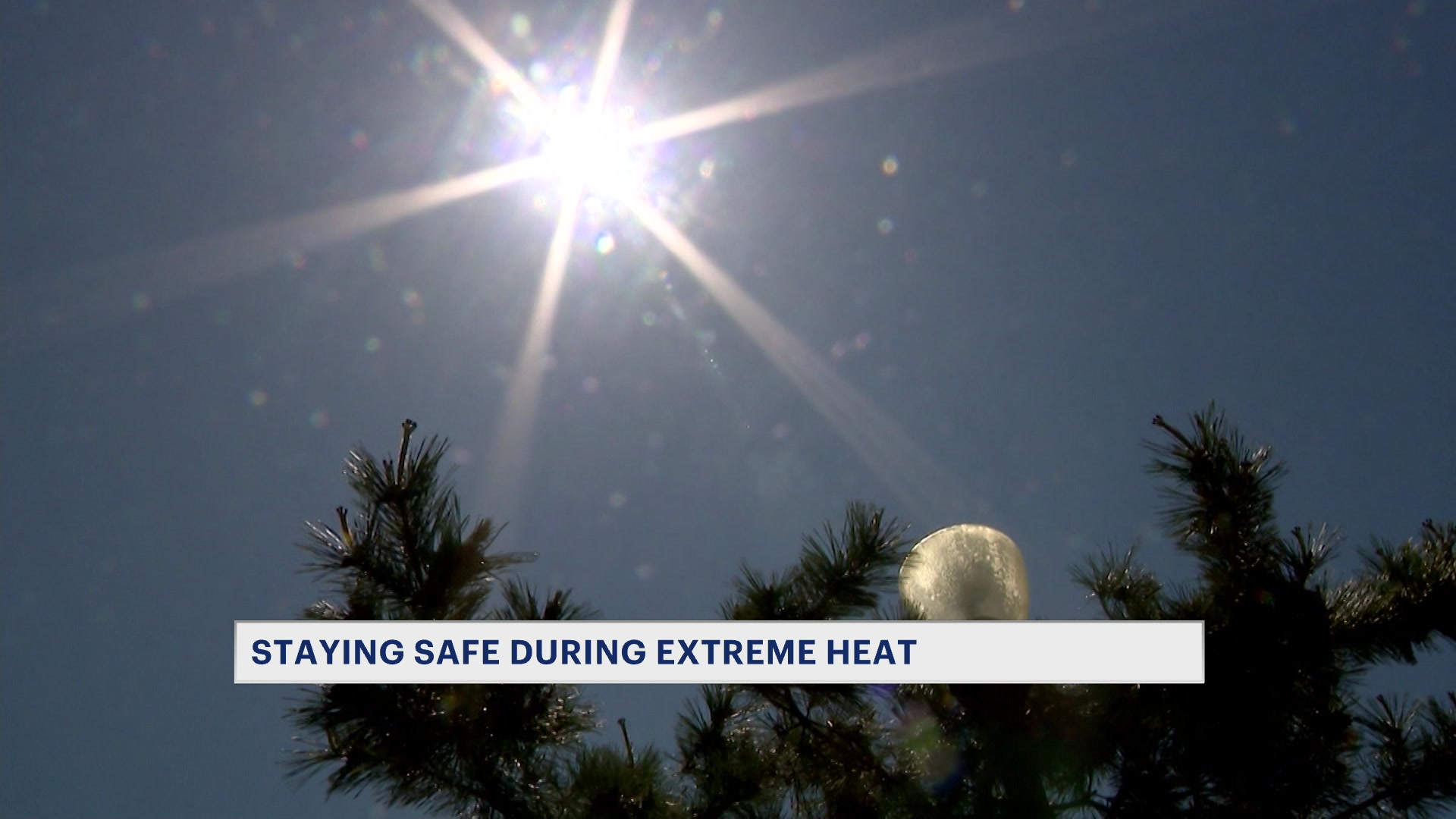
Extreme heat like this can significantly increase the potential for heat-related illnesses, especially for people who work outdoors or have outdoor activities. Stay cool and hydrated. Be sure to pay special attention to the elderly and pets. Stay out of the sun and find cooling centers if you do not have air conditioning at home.