STORM WATCH: Thunderstorm threat continues in Western Connecticut through Monday
Rounds of heavy storms will dump several inches of rain locally over the next 24 to 36 hours.
More Stories



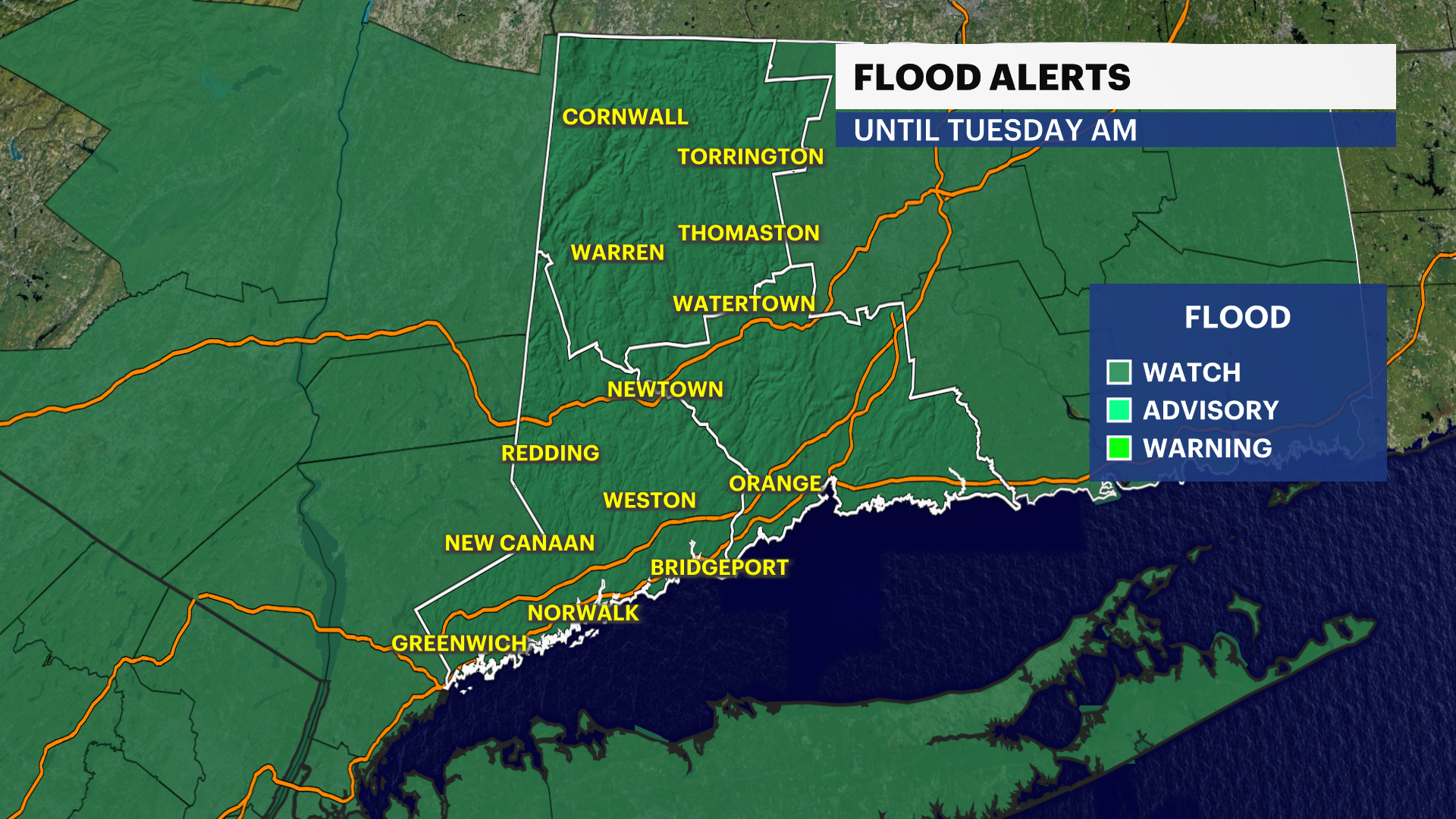
FLOOD WATCH REMAINS IN EFFECT THROUGH LATE MONDAY NIGHT
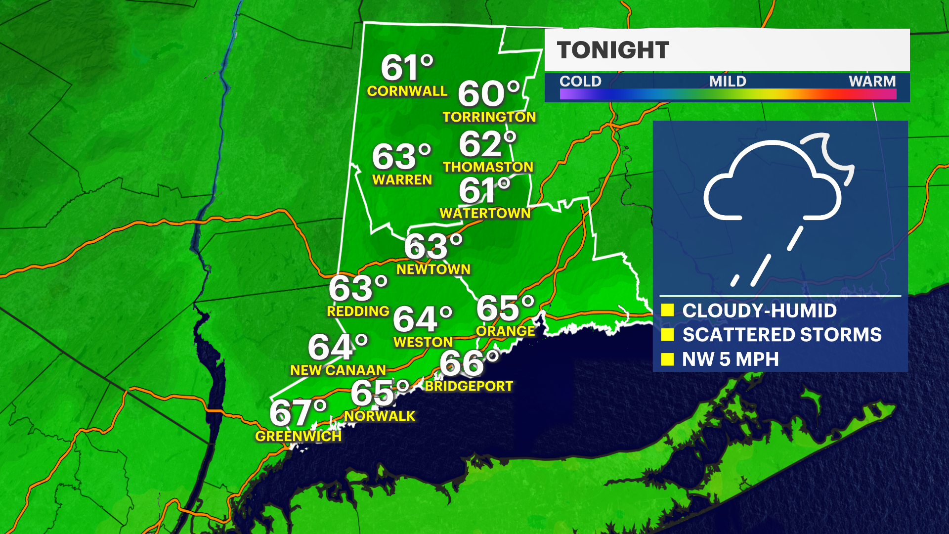
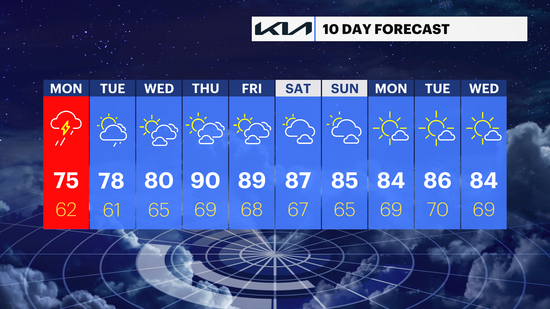
The focus shifts from the hot temperatures to a much wetter and stormier pattern. Temperatures in the 80s on Sunday felt noticeably better compared to the triple-digit heat Western Connecticut has been dealing with, though it will still be on the warm side.
Monday looks unsettled, with numerous showers and thunderstorms expected throughout the day. Heavy rainfall could lead to delays during both the morning and evening commutes, so plan for extra travel time.
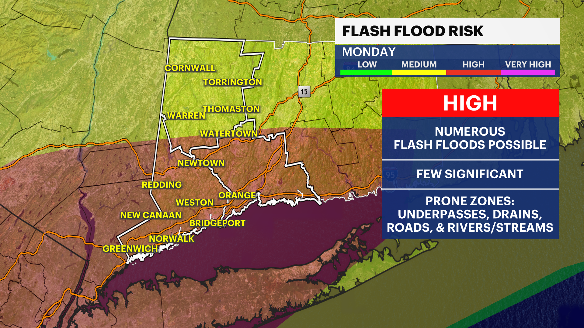
The bigger concern will be flooding. Storms may repeatedly move over the same locations, producing several inches of rain in a short amount of time. That raises the risk of flash flooding, especially in low-lying and poor-drainage areas. If you encounter a flooded roadway, turn around, don't drown. Driving through floodwaters is extremely dangerous and can quickly become life-threatening.
Many locations will pick up between 1" and 3" of rain by the time this weather system winds down, with locally higher amounts possible. The state certainly needs the rain, but this may be too much of a good thing all at once.