Connecticut faces a wet start to the workweek
Showers and thunderstorms become likely Sunday night, with Monday expected to bring widespread rain.
More Stories


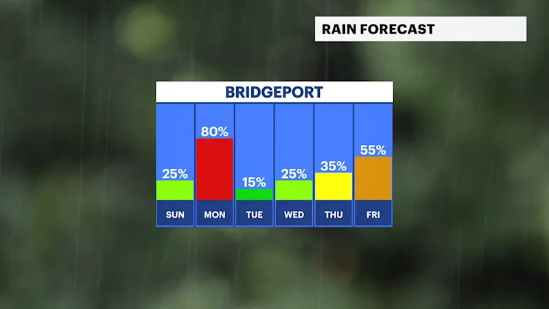
Clouds will remain in place through Sunday as the next storm system approaches, but most of the day will stay dry. Rain chances increase Sunday night as showers and thunderstorms become more widespread heading into the overnight hours.
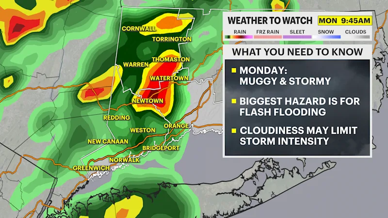
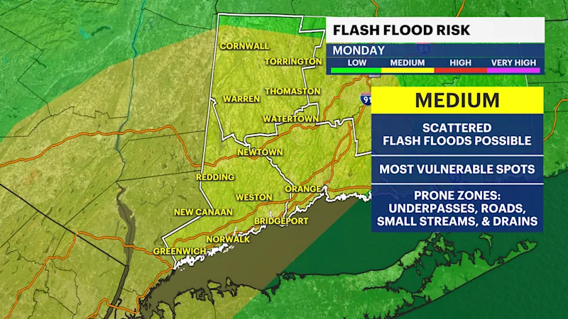
Monday will be the wettest day of the forecast. Periods of showers and thunderstorms are expected throughout much of the day, bringing a soggy start to the workweek. Locally heavy downpours, lightning and ponding on roadways will be possible, so plan for slower travel and wet conditions if you're heading out.
The weather turns quieter Tuesday with sunshine returning. While a few isolated showers may pop up during the second half of the week, there are no signs of another widespread washout through next weekend.
Sunday: Mostly cloudy and dry for much of the day. Highs in the low 80s.
Monday: Showers and thunderstorms likely throughout the day. Highs in the low 80s.
Tuesday: Mostly sunny and pleasant. Highs in the low 80s.
Wednesday: Partly sunny with a slight chance of an afternoon shower. Highs in the low 80s.
Thursday: Partly sunny with a chance of afternoon showers and thunderstorms. Highs in the low to mid-80s.
Friday: Mostly sunny with a chance of a passing shower. Highs in the mid-80s.
Saturday: Mostly sunny with a slight chance of a shower. Highs in the mid-80s.