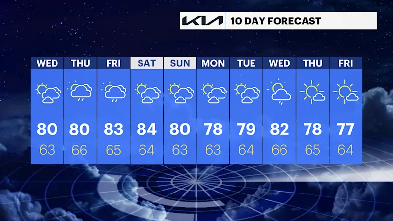
Bright and warm couple days followed by rain chances to end the week
Nice weather continues, before thunderstorm chances return for the late week.
More Stories


Bridgeport Information
Western Connecticut is in for another pleasant day before a wetter, stormier turn later in the week.
Tonight: Partly cloudy skies through tonight. We may see some patchy fog develop after the midnight hours. Still quiet with lows in the 60s.
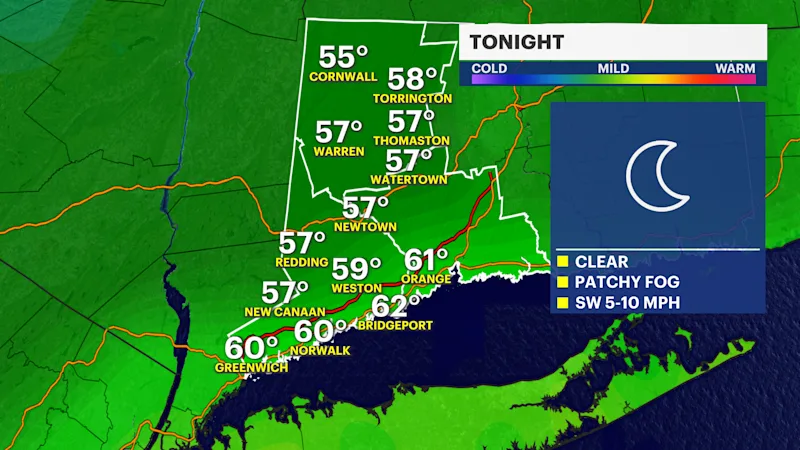
Wednesday: Looks like the standout day, with plenty of sunshine and warm temperatures. It’s a great day for a walk, outdoor lunch, or enjoying a walk in the park.
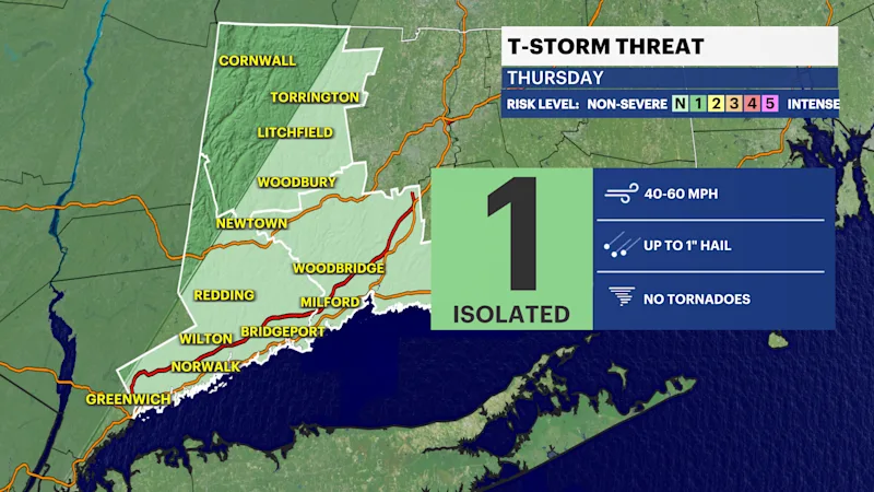
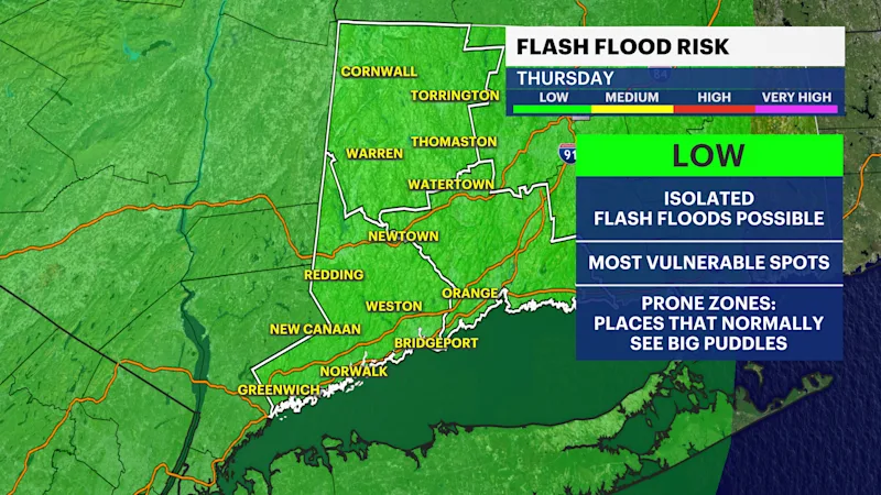
Thursday: The weather takes a turn. Expect more clouds, humidity and periods of showers, with the possibility of a stronger storm in the afternoon and evening. Downpours could briefly create areas of flooding in poor drainage areas, especially.
Friday: A warmer and humid day follows. Morning showers possible. Some sunshine should return, but scattered thunderstorms remain possible, especially later in the day.
In total, Wednesday looks like the best bet for outdoor plans, while Thursday brings the biggest risk for rain and storms.