STORM WATCH: Connecticut faces more wet, and possibly white weather overnight and Friday
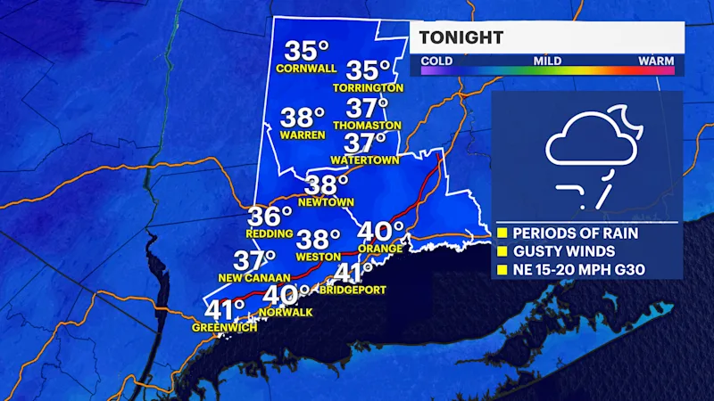
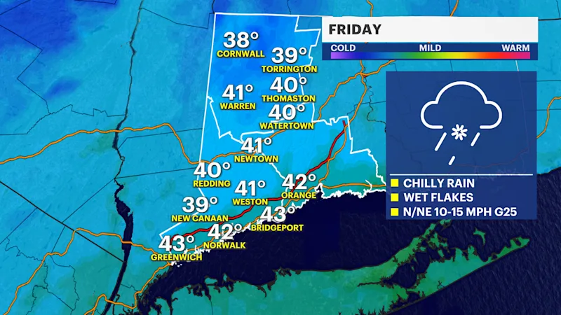
Periods of rain are likely overnight before transitioning to a chillier day on Friday with more rain and possibly some snow in the higher elevations of Litchfield County where we may see a minor wet snow accumulation.
More Stories


Bridgeport Information
FORECAST
Rain will become intermittent overnight with pockets of heavier downpours. More rain is likely for the morning commute on Friday.
Rainfall totals between 1 and 2 inches are expected statewide, with isolated higher amounts possible where heavier rain bands persist.
Flooding is not anticipated to be a widespread concern, though periods of heavier rain may lead to temporary ponding on roads and reduced visibility.
Most of Connecticut will experience a chilly rain throughout much of the event. However, colder air arriving overnight and Friday morning could allow a transition to wet snowflakes, especially across Litchfield County and other higher elevations of northwestern Connecticut.
Minor wet snow accumulation is possible in the highest elevations, while coastal and southern Connecticut communities are expected to remain primarily rain. Portions of Fairfield County may briefly see a few snowflakes mix in Friday, but significant accumulation is not expected.
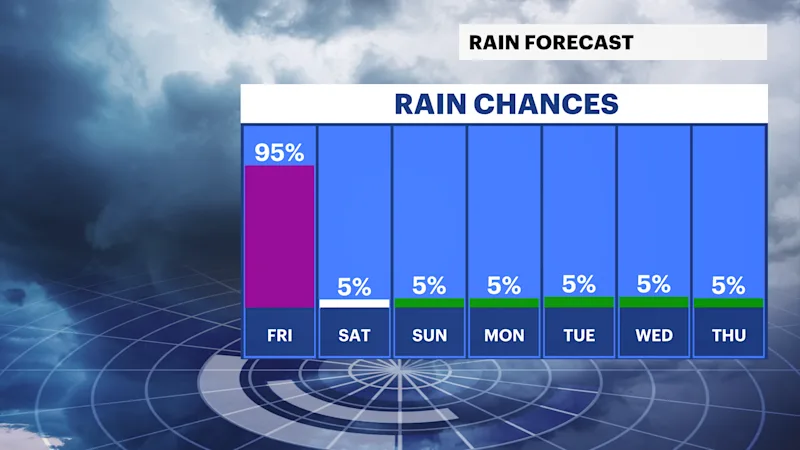
The storm will slowly pull away Friday night, allowing rainfall to diminish. Gusty winds of 25 to 30 mph will develop behind the system and continue into the weekend.
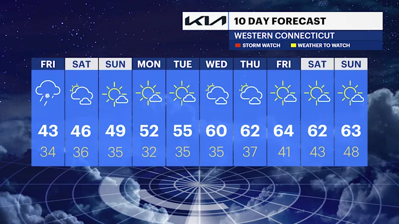
The coldest air of the season settles in Saturday and Sunday, with highs remaining in the 40s and overnight temperatures falling near or below freezing across much of the state. Slow improvement is likely early next week with a return of sunshine and milder temperatures.