Fall's finest week continues across Connecticut
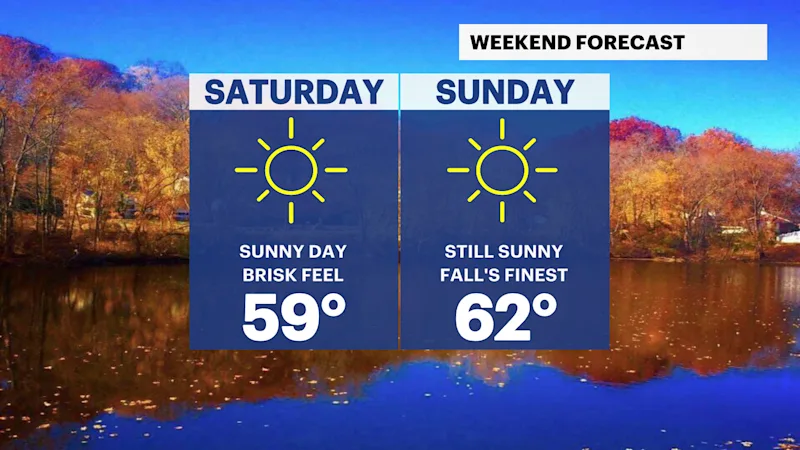
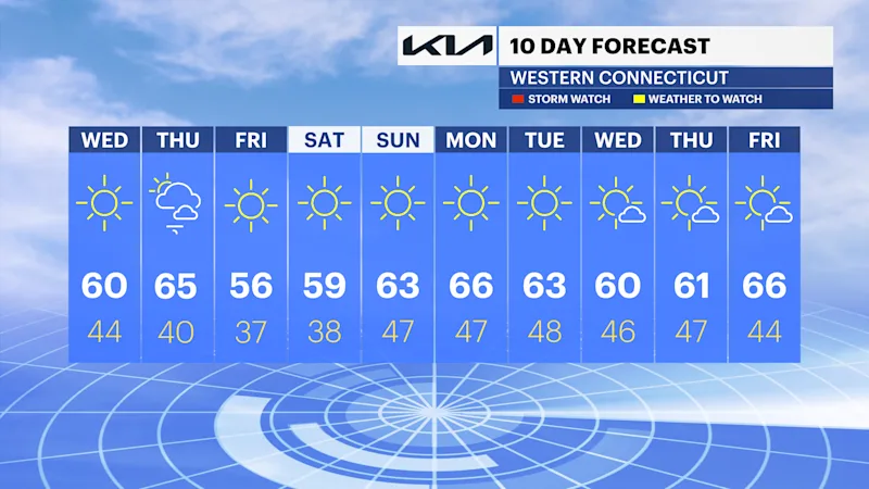
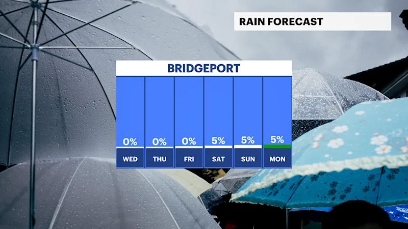
A prolonged stretch of dry weather continues through the weekend making it the first dry weekend in over a month.
More Stories




Bridgeport Information
FORECAST
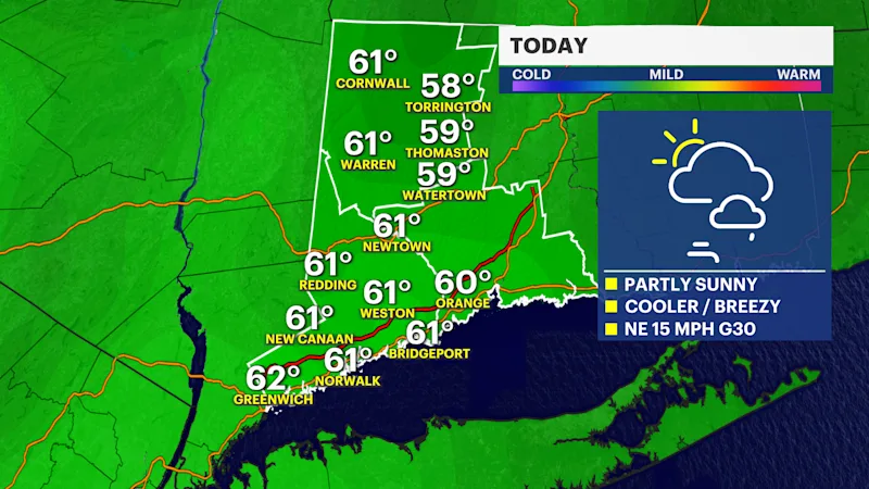
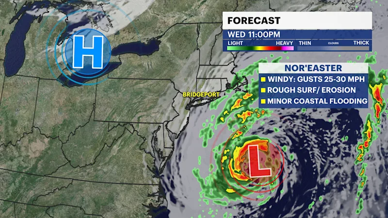
It's another gorgeous fall day around the borough with breezy conditions, high thin clouds and slightly cooler temperatures in the low 60s. A nor'easter to our southeast will continue to slowly steer away from the region through the end of this week. As it moves away, winds will be noticeably breezy today through Thursday, up to 25 to 30 mph. Some indirect impacts of minor coastal flooding, rough surf and beach erosion are expected at the immediate coast during high tide through Thursday.
The National Hurricane Center has a 40% chance that this storm could develop some subtropical characteristics in the next day or two as it slowly tracks northeast. It is now unlikely that further development would occur as the storm is moving into an unfavorable environment by the end of this week. It currently poses no direct threat to land. It will continue to bring high surf, large swells, beach erosion, coastal flooding, and a persistent gusty north to northeast wind to parts of the tristate extending to New England through Thursday.
After six weekends of measurable rainfall, the first completely dry weekend is in store this weekend, with slightly cooler temperatures in the upper 50s to low 60s and beautiful sunshine.
Stay tuned for updates with the News 12 team.