More Stories
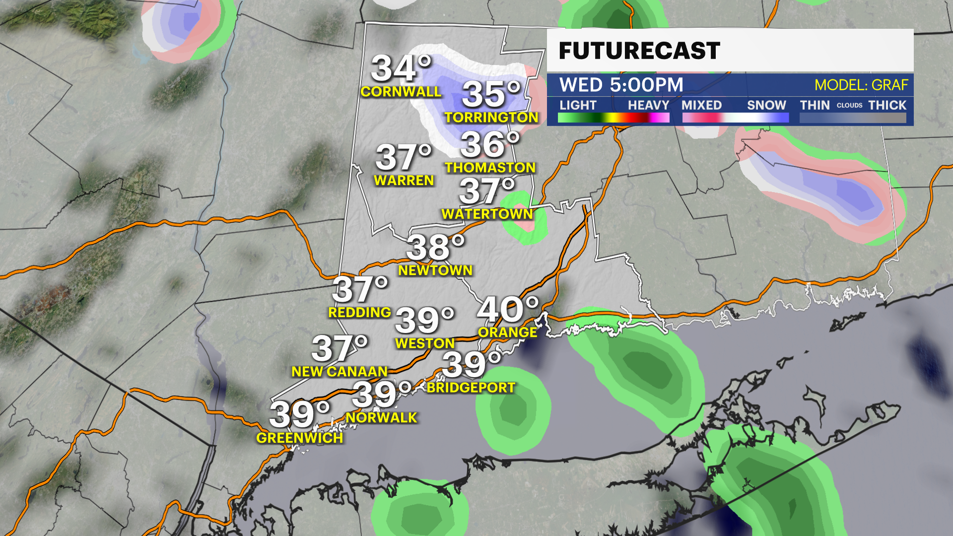
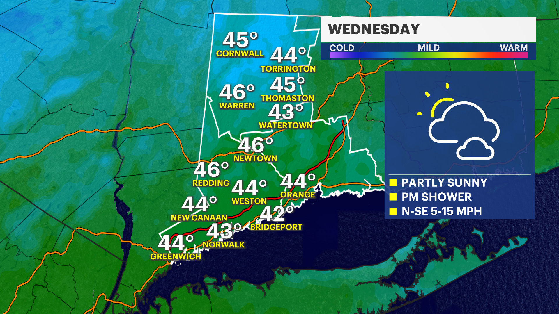
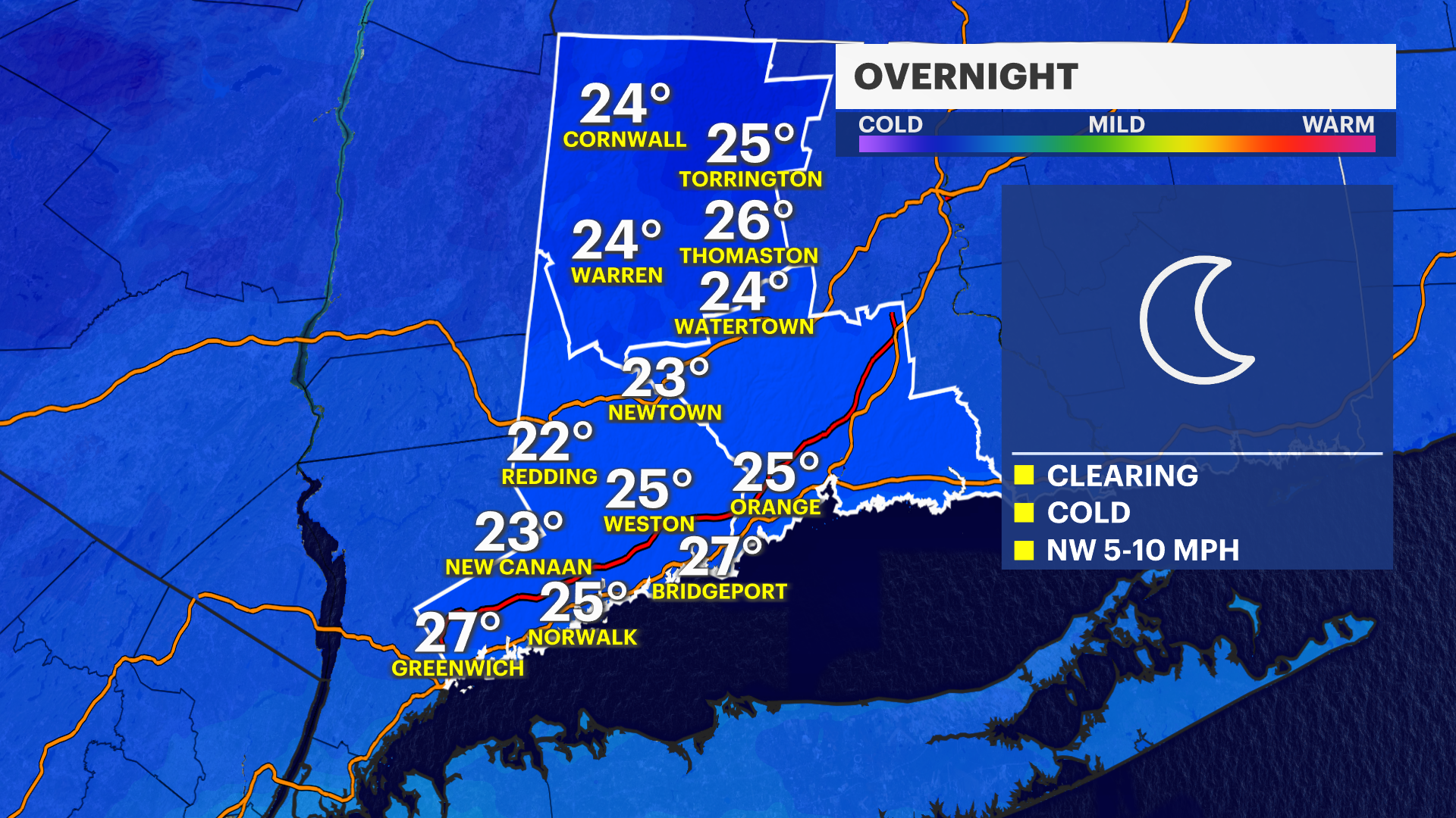
NOW AND NEW: Storm Watch Team Meteorologist Steve Teeling says skies will slowly clear out overnight with lows dropping into the 20s. Areas of black ice are possible overnight with temps well below freezing. Wednesday will be partly cloudy with a passing rain or snow shower possible during the afternoon.
NEXT: We're watching for another possible system on Friday and right now it looks like it starts as a wintry mix but then transitions over to rain into Friday night for the southern half of the area. It will probably stay a wintry mix for the northern half. The weekend right now looks to be mostly cloudy with scattered flurries.
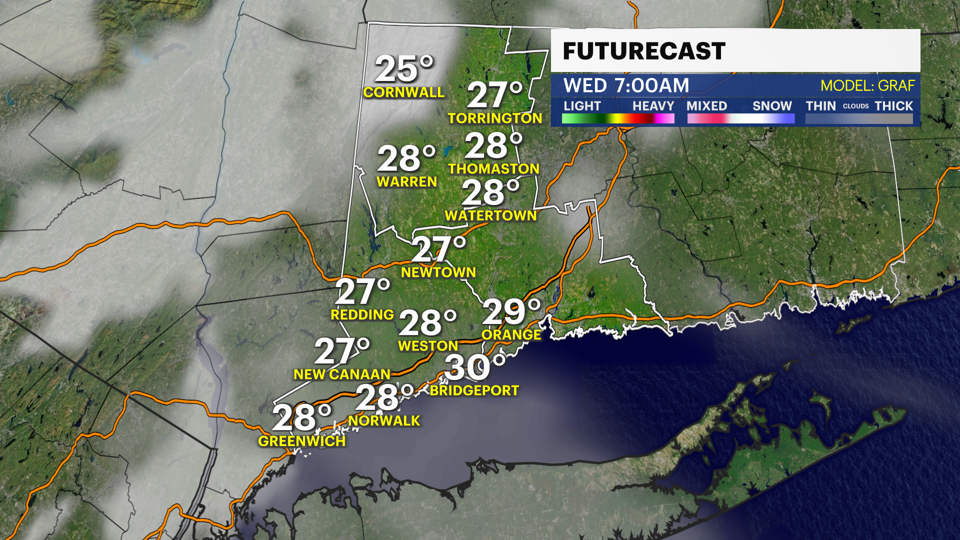
TONIGHT: Gradual clearing and cold. Areas of black ice likely. Low of 26.
WEDNESDAY: Partly cloudy with an afternoon passing rain or snow shower. High of 42.
THURSDAY: Morning showers with some sun in the afternoon, milder. High of 52.
FRIDAY: Wintry mix develops, most likely changing to rain in southern areas, staying a wintry mix up to the north. High of 40.
SATURDAY: Mostly cloudy and chilly with a few flurries. High of 44.
SUNDAY: Mostly cloudy with a few flurries. High of 42.
More from News 12
1:40

Bridgeport firefighters come out to support one of their own, who was shot and killed
1:59

Warmer temperatures come with on and off rain chances this week
0:26

Trial begins in 1986 killing of Norwalk girl strangled while walking home from school
1:39

Stop chasing trends: Financial expert explains how to navigate 2026’s volatile market
2:45

Effort underway in Bridgeport to save 85-year-old grandmother from eviction
2:34
