Warmer temps finally on the way after brutal stretch
The jet stream, which had featured a ridge across the Western U.S. and a trough in the east is about to flip.
More Stories
While the last three weeks have featured frigid conditions in the east, a major weather pattern change is underway.
The jet stream, which had featured a ridge across the Western U.S. and a trough in the east is about to flip.
Ridging building in the east limits the ability of sustained arctic cold to reach the East Coast.
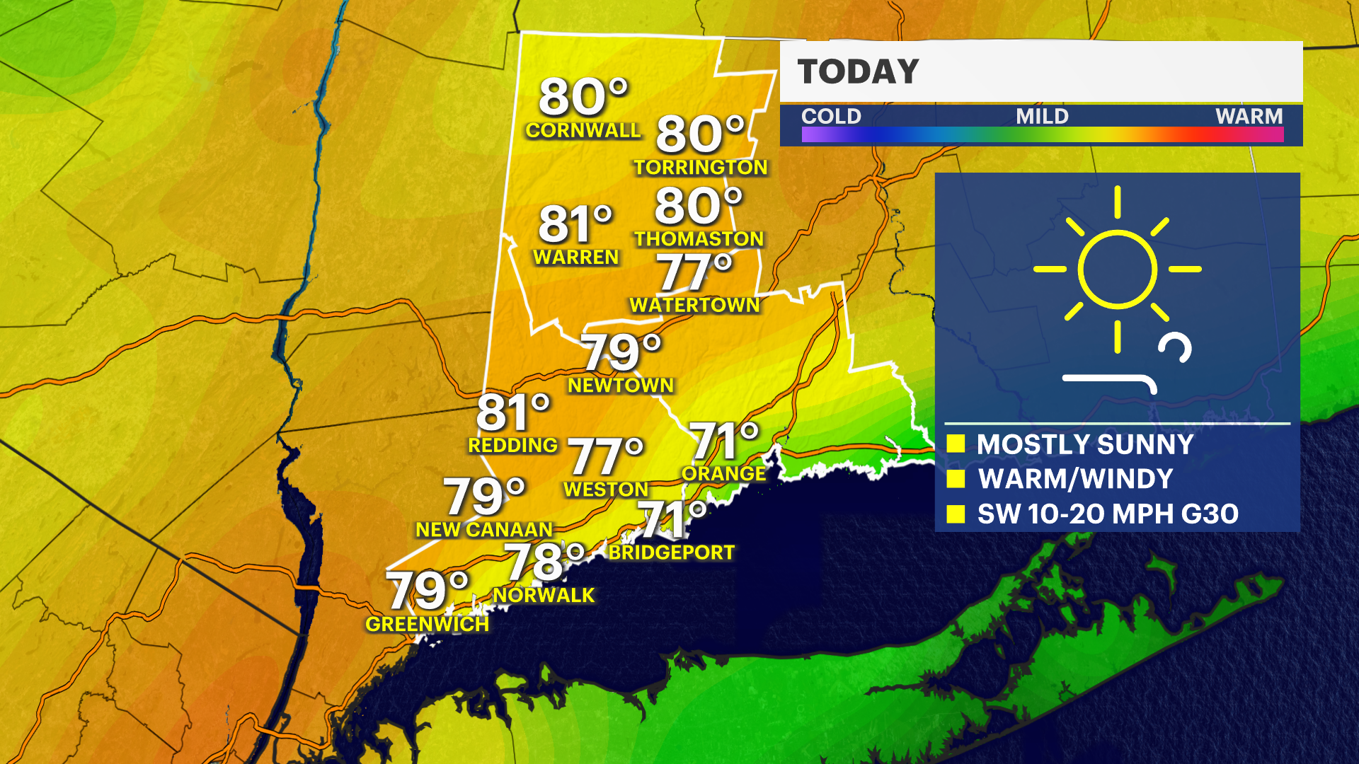
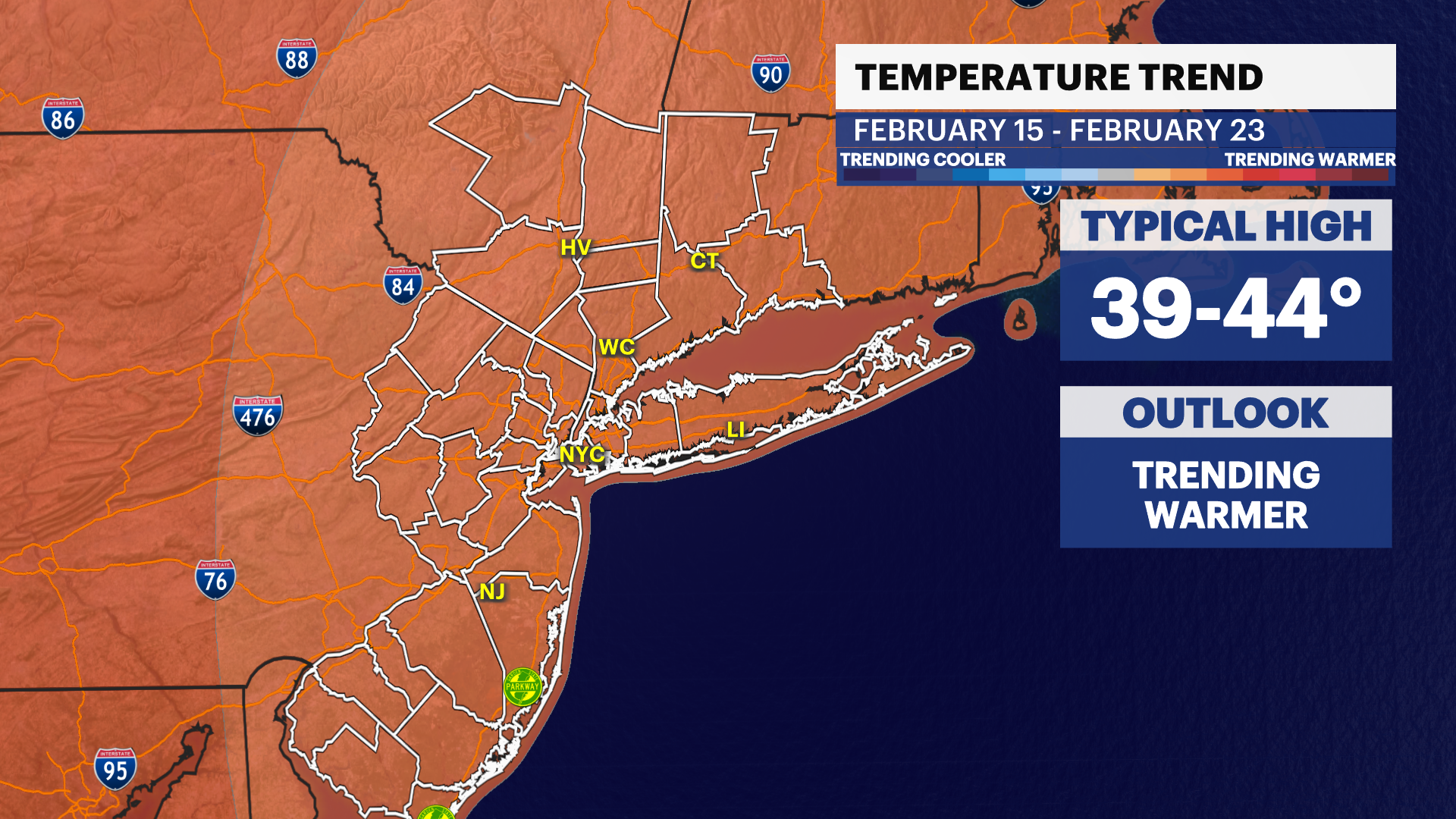
So, for the period from Feb. 15 through Feb. 23, while short-lived cold spells are still possible, the dominant signal points to temperatures running warmer than normal.
But don’t put away your heavy coat and snow shovels just yet.
The overall pattern for the rest of the month, and on into March will be influenced by two even broader scale weather patterns.
Out over the Pacific Ocean west of Peru, La Niña (cooler-than-normal ocean temperatures in the central and eastern Pacific) is fading. At the same time, The NAO, or North American Oscillation, a weather indicator that measure pressure differences over the north Atlantic is trending negative.
When this happens, arctic air can more easily push south into our region.
If this pattern materializes, we could see a return to a snowier pattern with colder-than-normal temperatures heading into March.
So, enjoy the next couple of weeks - and just remember, spring officially arrives March 20.


